
Client Name
Dallas County Conservation Board
Client Type
Project Type
Services Provided
Project Manager

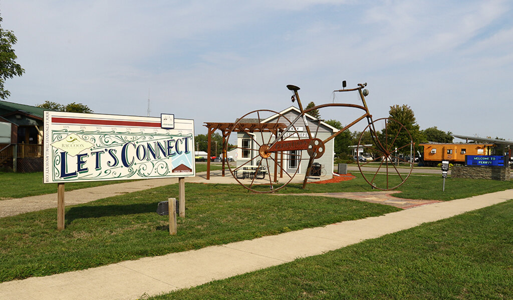
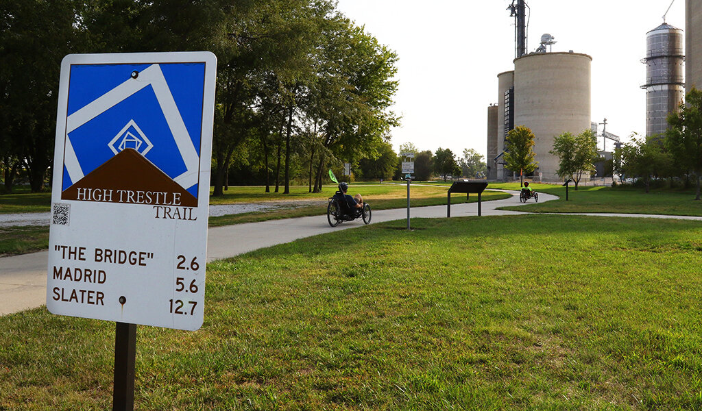
Evaluating Trail Alignment Options to Connect Popular Trail Systems
The High Trestle and Raccoon River Valley Trails are two of the most popular and heavily used trail systems in the State of Iowa. However, these two trails were separated by nine miles between the communities of Woodward and Perry. In 2014, Snyder & Associates began working with the Dallas County Conservation Board to identify a feasible trail route to connect the Raccoon River Valley Trail in Perry to the High Trestle Trail in Woodward. Promoted as the “Let’s Connect” trail segment when completed, this project will create a significant link between these two popular destination trail systems.
Former Railroad Right-of-Way Creates Challenging Trail Alignment
Many trail systems in Iowa (including the High Trestle and Raccoon River Valley Trails) are fully or partially constructed on former railroad rights-of-way (ROW), taking advantage of existing grading and property rights agreements. Our team experienced challenges with the alignment of the Let’s Connect trail route because the former railroad right-of-way between Perry and Woodward had long ago been abandoned and reverted to adjacent property owners. In some places, the right-of-way parcels remained intact. In others, the right-of-way and former grade were completely obliterated.

Trail signage at the S Avenue crossing as progress continues.
Our team’s initial task was to find suitable routes, ideally with property owners willing to work (in principle) with the Dallas County Conservation Board to accommodate the trail design. Snyder & Associates reviewed and evaluated nine separate alignments based on several factors, including the availability of ROW (or ability to acquire), public feedback, route directness, safety, anticipated construction costs, and a preliminary environmental review.
Two options were identified as feasible of these nine alternative alignments, and the Dallas County Conservation Board began to move forward with property acquisition and fundraising for the preferred alignment. During that time, our team provided easement plats, reviewed funding applications, and developed construction cost opinions for each of the five planned phases. Our team also completed Countersigned Categorical Exclusion documentation, resulting in NEPA clearance for the proposed trail route.
Trail Funding Leads to Phased Trail Construction
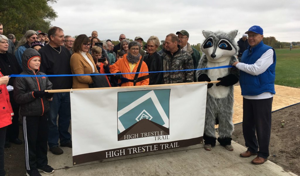
With an estimated $5 to $6 million price tag to complete the entire trail, a phased construction process was implemented that would move forward as funding was secured. Phase one of the project was designed to begin in Perry and follow the former railroad grade out of town, ending 1.5 miles to the northeast at 130th Street. Construction commenced and was completed in the summer of 2018. Phases two and three moved to the Woodward side of the trail connection and worked to the west from S Avenue to Quinlan Avenue. These two phases were completed in 2020 and 2021, respectively.

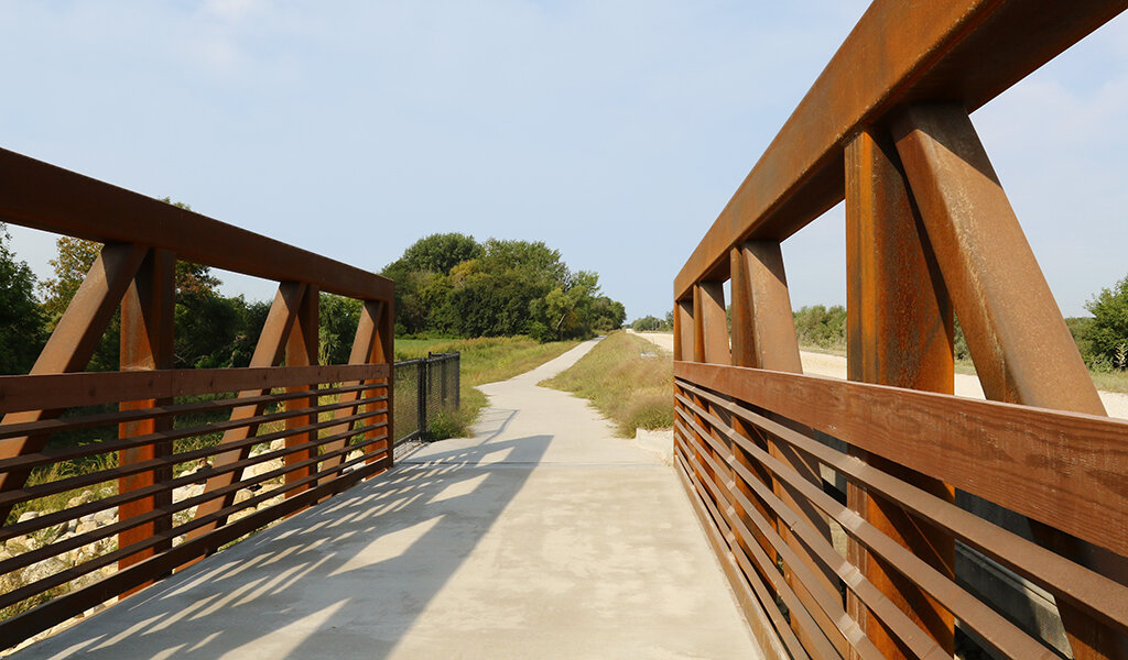
A dedicated trail bridge adjacent to 130th Street provides trail users greater safety.
Also completed in 2021, phase four of the project continued the eastward movement of the trail near Perry from 130th Street to M Avenue. This included the construction of a new bridge over Beaver Creek to accommodate trail users. The Snyder & Associates team completed wetland delineation, engineering trail design and specifications, project letting, construction administration, and NEPA clearance for all these phases. The remaining four miles between M Avenue and Quinlan Avenue are anticipated to be completed in 2023, with the final mile or so lapsing into 2024.
Our team continues to assist the Dallas County Conservation Board as they move forward with the remaining property acquisition while additional funds are secured. Donations are still being accepted and can be made directly to Dallas County Conservation online. When completed, this new connection of these two major trails will create an 86-mile-loop and a 118-mile-loop, providing central Iowa trail users with more options.