
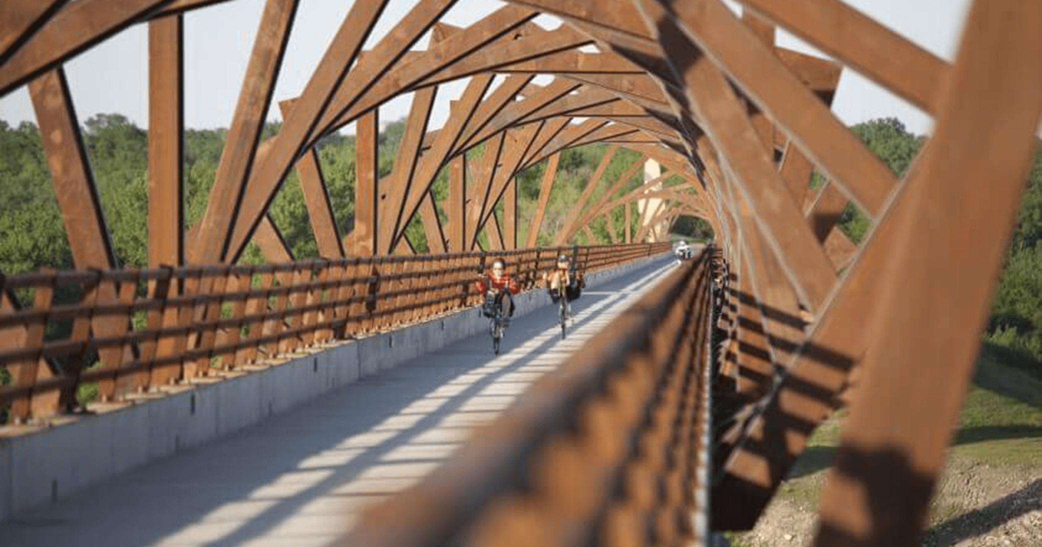
Land Survey Technology Enhances Project Success
The origins of land surveying date back thousands of years. While the fundamentals of measurement and mapping remain the same, technology is making it possible to acquire data more accurately, efficiently, and safely than ever before. “Project success begins with land surveying, and advancements in survey technology play a crucial role,” explains Eric Miller, PLS, Survey Business Unit Leader for Snyder & Associates.
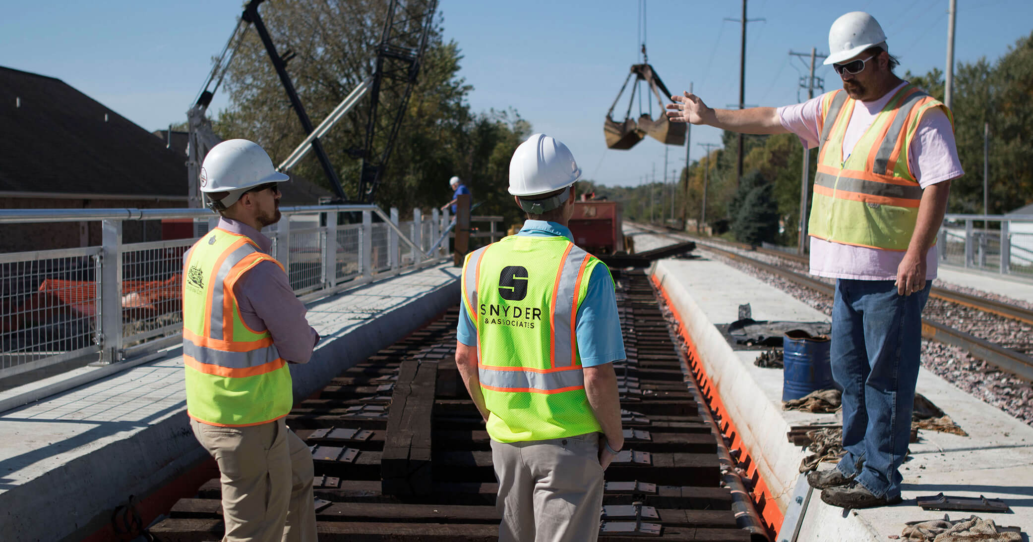
With survey projects spanning civil and structural engineering, unmanned aerial vehicles (UAVs), HyDrone survey boats, and Leica laser scanners are among the most significant advancements in recent years. Each technology has specific applications; for the most part, they’re all used to supplement traditional survey methods. However, in some instances, these advancements also open up entirely new avenues of important information. Before recent advancements, there were occasions where assumptions had to be made due to the lack of limited information accessible by traditional survey equipment. Technology allows data collection from hard-to-access locations with ease.
Unmanned Aerial Vehicles Improve Efficiencies in Surveying & Construction Activities

Whether performing construction observation or capturing images of project sites, UAVs can complete numerous aerial duties at a fraction of the cost of previous methods.
More commonly referred to as UAVs in the survey industry, these remote-controlled aircraft provide an efficient way to conduct construction progress, observation, inspection, and monitoring. The high-resolution data from a UAV has been found to rival traditional survey methods. They’re also helpful in capturing photos and videos of large or difficult-to-access project sites, including stockpiles or basin areas. In addition to projects with access or safety concerns, UAVs are useful on projects centered on sprawling industrial plants or facilities, wind farms, or large, undeveloped tracts of agricultural land.
“The data we’re able to capture helps our clients make informed decisions early on during project development to keep things moving forward,” passionately shares Miller.
Depending on project site size and weather conditions, among other factors, UAV flights can be completed in an hour or less. However, a lot of work goes on in advance to prepare the flight path and ensure FAA approvals are in place if required. After a flight occurs, technicians analyze and process the UAV data to make it usable for survey and design applications.
HyDrone Boats Capture Underwater Surface Data in Hard-to-Access Areas
 | Snyder & Associates - Engineers and Planners")
Sonar-equipped HyDrones are portable and easy to deploy. These features make them ideal for performing bathymetric surveys in small lakes and streams.
Before the HyDrone survey boat, surveying mid-size lakes, streams, or near dams was extremely difficult. Adding the HyDrone allows our team to survey bodies of water that are too small for a full-size boat or unsafe to complete with waders due to depth and other factors.
A HyDrone is a remote-controlled catamaran explicitly developed for a bathymetric survey. It’s lightweight, wireless, and easily portable, making it ideal for project sites inaccessible by boat or ground crews. Only one person is needed to operate a HyDrone, which is a benefit over a full-size survey boat that requires a three-person staff. It uses a sonar unit with a single-beam acoustic signal to gather depth and location information, providing engineers with a detailed understanding of underwater features and surfaces.
The HyDrone has proven particularly useful in comparing design elevations with current surface elevations to determine silt concerns, investigating underwater scouring, and comparing pre- and post-construction underwater surfaces for bridge projects.
Scanner Elevates Transportation & Vertical Infrastructure Projects
Transportation projects pose a safety risk to surveyors in the field. Using a scanner, the Snyder & Associates team can gather high-level survey data and reduce time on-site in less-than-ideal situations. This technology also allows our team to easily scan the interior of buildings and other vertical infrastructure projects.
A scanner is an advanced piece of technology that rests on a tripod. The unit uses light detection and ranging (LiDAR) technology to generate a point cloud within the scanner’s field of view. The scanner can collect a point cloud of everything within its 360-degree line of sight. The point cloud allows for a very accurate and detailed site recreation in a digital format that can be used across many platforms. Miller says the scanner is also helpful in assisting architects with remodeling and renovation projects because it enables the team to recreate plans that no longer exist essentially.
Looking Ahead: Future Advancements in Land Survey Technology
Regardless of project type, land survey plays a critical role in the meticulous civil and structural engineering world, and technology is an integral component. Not long ago, surveyors measured distance using tape. Since then, electric distancing equipment and computers have changed the landscape, making crews more productive and precise.
“These [survey] technologies allow us to capture a mirror image of any site feature or structure with data points. Using that information, surveyors and engineers can provide our clients with a solid design that guides construction success,” concludes Miller.
As he looks towards the future of land survey, Miller says he’s excited to see what’s in store. UAVs, HyDrone boats, and scanners are quickly becoming commonplace, and as technology continues to advance, the ability to provide safe, efficient, and highly detailed survey information will follow.