A wide-reaching planning study started in the 1980s by the Iowa Department of Transportation (DOT) gave priority status to the widening of U.S. Highway 30 across much of the State of Iowa. This study included the now completed four-lane, access-controlled bypass around the south side of Mt. Vernon and Lisbon in eastern Iowa. The intended goal of the project was to create a safe, free-flowing, east-west route across the state that improved transportation capacity and reduced crashes. At the same time, the bypass fit into the DOT’s plan of modernizing key corridors to support economic development through the more efficient movement of freight.
Fast forward more than three decades and this ambitious plan continues with the proposed construction of a new interchange at the U.S. Highway 30 & 580th Avenue intersection east of Ames. This proposed interchange will address operational and safety deficiencies at the existing intersections in the area and accommodate future traffic from anticipated growth in the surrounding area, which is anticipated to transition from current agricultural land uses to light industrial land uses.
The Snyder & Associates team was engaged to study the existing intersections and compile an Interchange Operations Report (IOR) that documents the existing conditions and operations, as well as future operations of the proposed interchange improvements. By removing the at-grade intersections and developing an access-controlled interchange, the DOT is seeking to eliminate high-speed broadside and left-turn crashes as traffic volumes increase in the future.
Current Intersection Configuration Lacks Desired Safety Measures
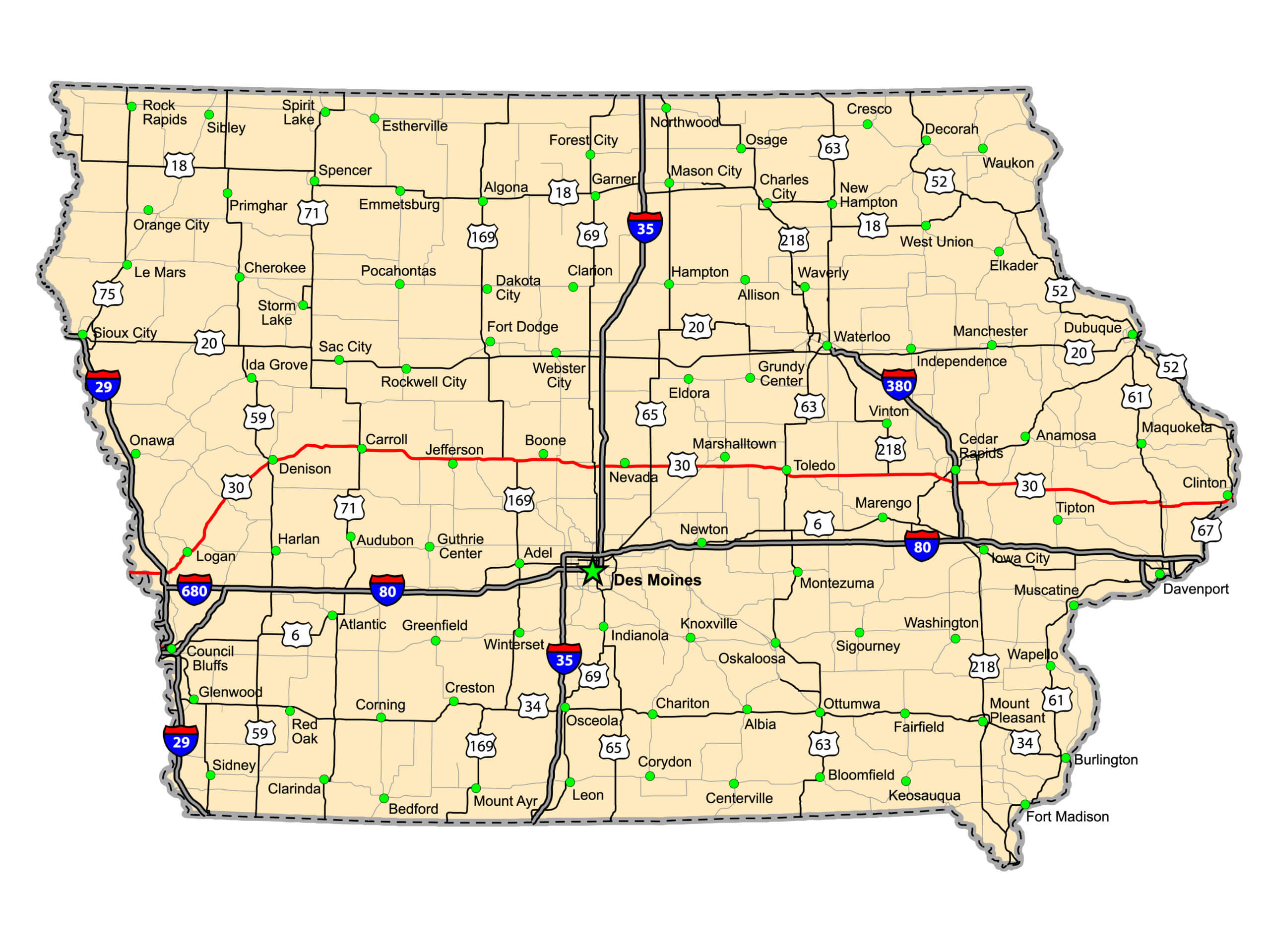
U.S. Highway 30 (in red) is a main east-west route across Iowa.
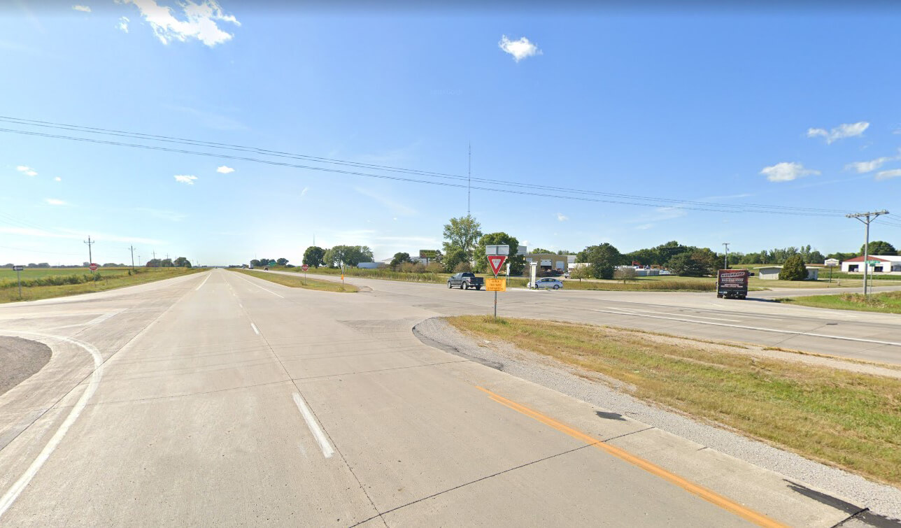
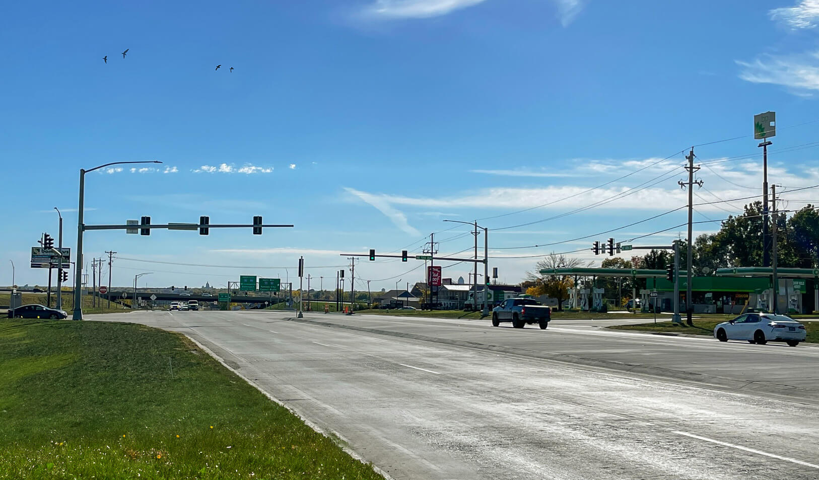
As currently configured at 580th Avenue, U.S. Highway 30 consists of a four-lane, divided highway with a rural cross-section and an approximately 50-foot-wide depressed grass median. As part of the National Highway System, the traveled portion of U.S. 30 provides 12-foot through lanes with paved shoulders and left-turn lanes at the existing intersection with a posted speed limit of 65 mph. Two-way STOP control is provided for the northbound and southbound approaches along 580th Avenue and left-turn lanes are provided in the U.S. 30 median.
While U.S. 30 currently meets Iowa DOT standards concerning lane width, paved shoulders, and roadway geometry, the at-grade intersection forces traffic along 580th Avenue to perform a potentially dangerous left-hand turn to enter the highway. While the divided highway median allows for two-stage crossing/turning maneuvers, the median crossover area becomes more congested as side street traffic increases, resulting in the increased potential for crashes. As U.S. 30 and side street traffic is only expected to increase over time, operations would concurrently degrade at this location.
These safety concerns are also clearly evident in the crash data compiled by our team for the IOR. The U.S. 30 and 580th Avenue intersection was ranked number 21 statewide in crash frequency and severity and in the top-10 of Expressway Intersections in the Safety Improvement Candidate Listing (SICL).
Proposed Interchange Geometry for Upgraded Intersection
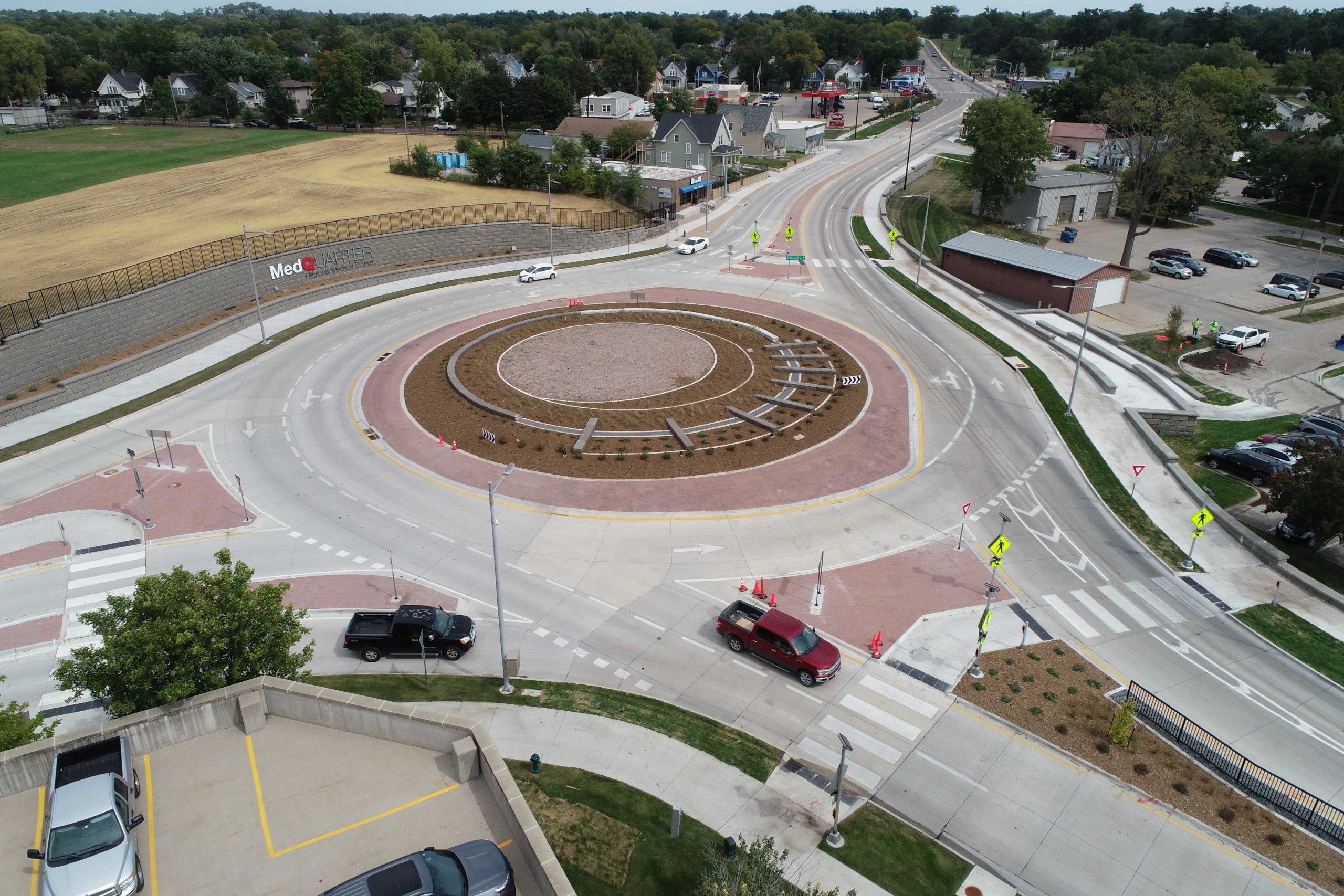
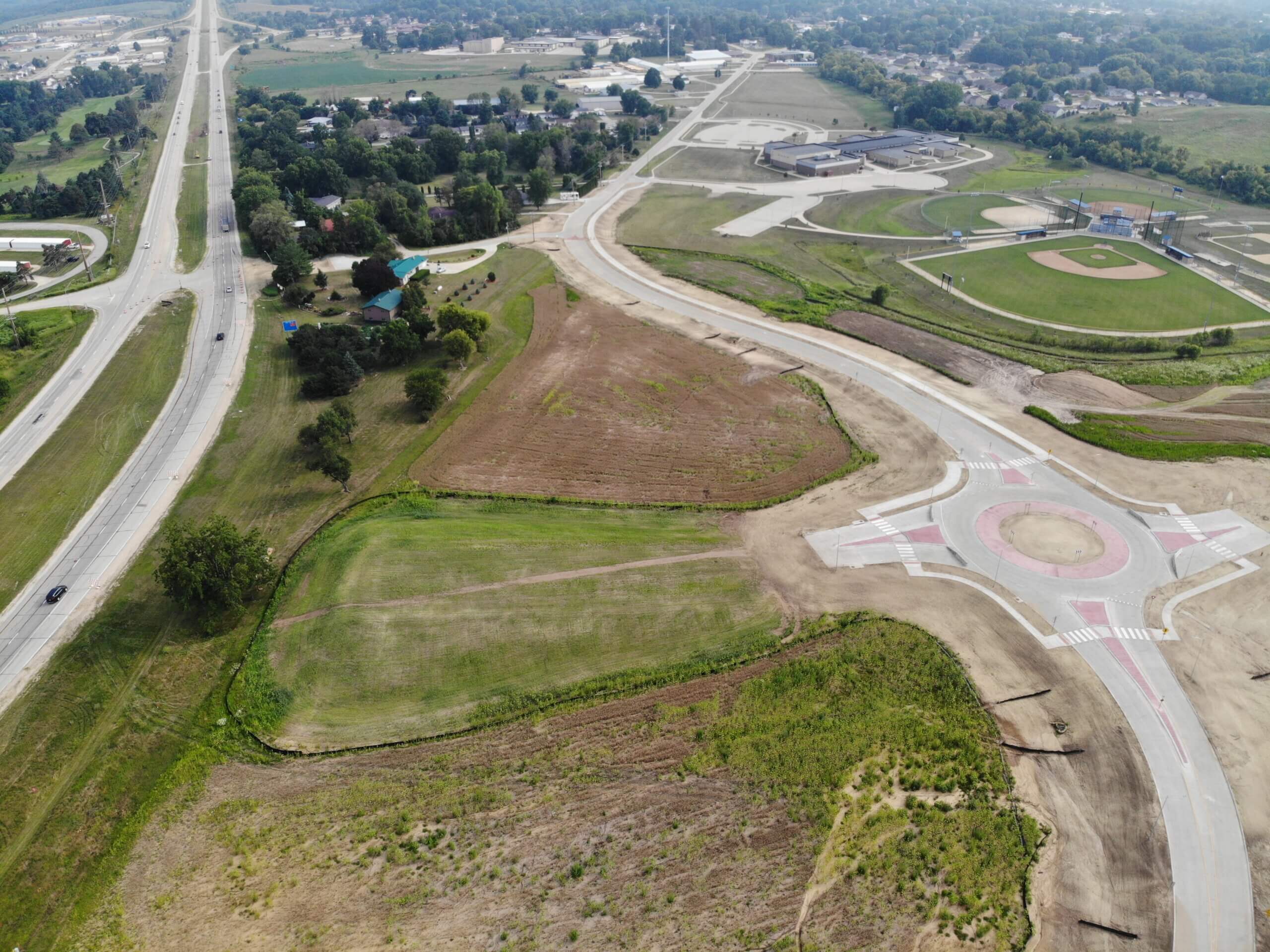
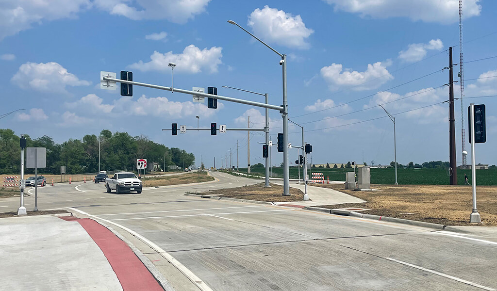
The Iowa DOT proposes the construction of a diamond/partial-cloverleaf interchange at the 580th Avenue intersection. This alternative was selected following the public meetings as part of the National Environmental Policy Act (NEPA) assessment/public information process, as well as task force meetings with local stakeholders.
The proposed interchange will provide diagonal entrance and exit ramps in the southwest, southeast, and northeast quadrants. However, due to existing commercial land uses in the northwest quadrant, a loop ramp is proposed in the northeast quadrant to accommodate westbound U.S. 30 entrance traffic.
Additionally, a 580th Avenue bridge would go over U.S. Highway 30 with the proposed plan. 580th Avenue would be a three-lane corridor providing one northbound and one southbound lane, with a center left-turn lane at ramp terminal intersections. This center lane would also serve as either a left turn lane or a two-way, left-turn lane (TWLTL) at future adjacent intersections north and south of the interchange.
Report Determines Proposed Interchange Meets Traffic Operations Need
As determined by our team’s extensive IOR study, the proposed interchange will satisfy the purpose and need identified in the prior environmental assessment. It will improve traffic operations for mainline and crossroad traffic by reducing delays and improving Level of Service (LOS) to meet the system mobility goals of peak hour traffic. This proposed interchange will also improve safety by eliminating intersection conflict points and providing full access control.
Currently scheduled for construction in 2023, the proposed interchange will have a positive impact on local users of the roadway, as well as those traveling through the state. The Snyder & Associates team takes tremendous pride in the services we perform, for not only the Iowa DOT, but all states, municipalities, and agencies that we are fortunate enough to lend our expertise.