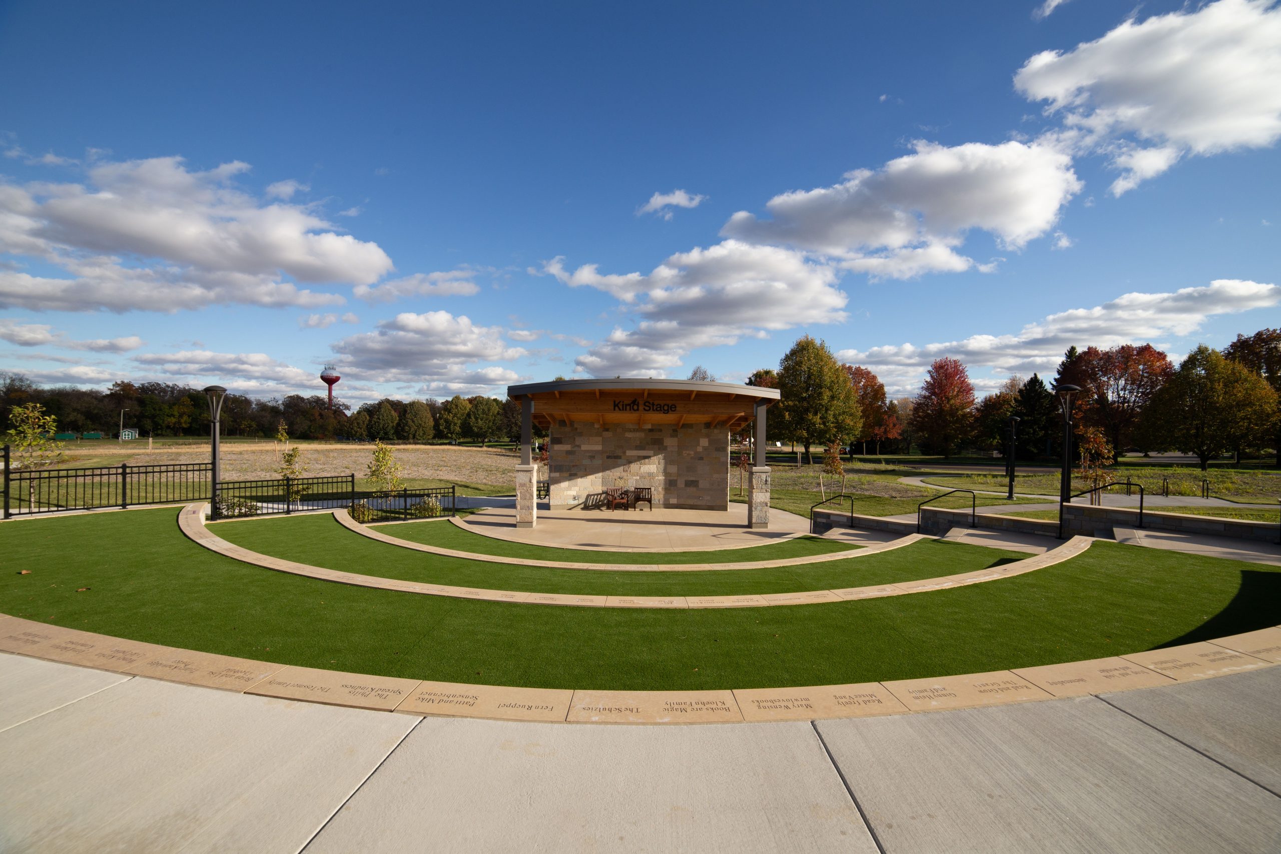
Walnut Creek Watershed encompasses a large portion of the Des Moines Metro. Map credit: Polk SWCD
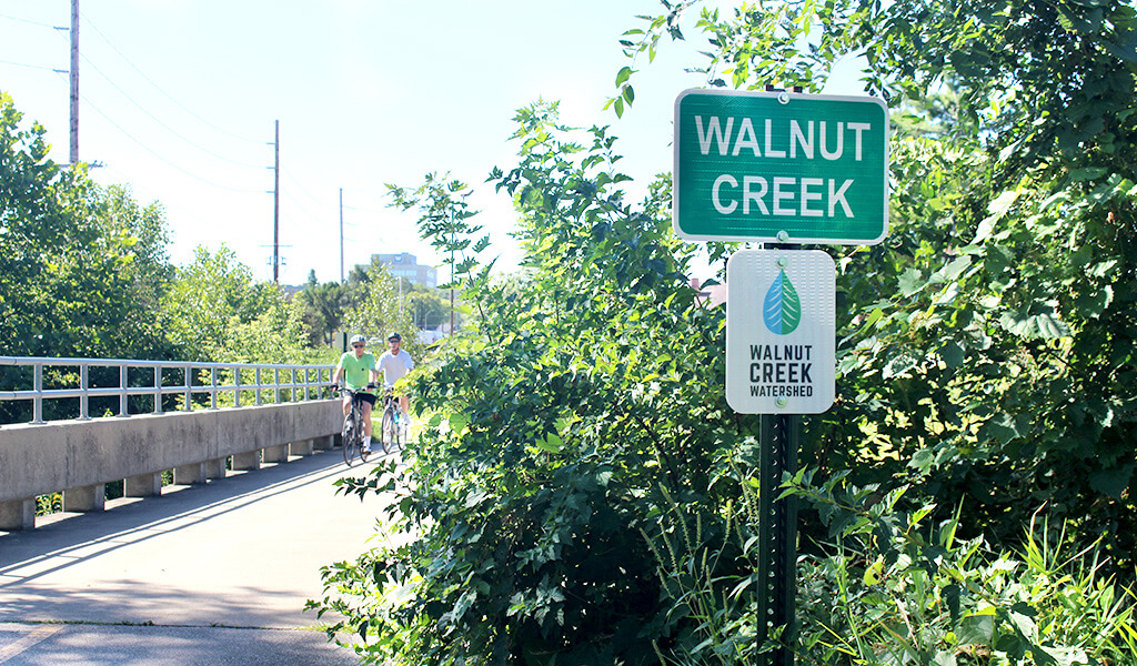
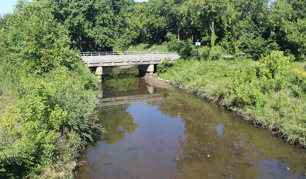
The Walnut Creek Watershed is one of the most critical watersheds in Iowa. The creek, along with its numerous tributaries, spans 97 miles and drains 53,000-acres across two of the state’s most populated counties: Dallas and Polk. Flowing into the Raccoon River less than a mile from the Des Moines Water Works’ intake valve, Walnut Creek becomes a source of public water supply serving nearly half a million users.
In response to concerns regarding high bacteria and nitrate levels, turbidity, flash flooding, and streambank erosion, the Walnut Creek Watershed Management Authority (WMA) was formed. This WMA works to ensure that concerns are handled on a holistic level, contrary to how similar issues were dealt with in the past. Previously, water quality and flooding concerns were offered site-specific solutions with little consideration given to finding the root cause of the problem. The Walnut Creek WMA provides a mechanism for cities, counties, Soil and Water Conservation Districts (SWCDs), and other stakeholders to work together to create positive change.
Snyder & Associates Experts Assist in Creating a Successful Watershed Management Plan
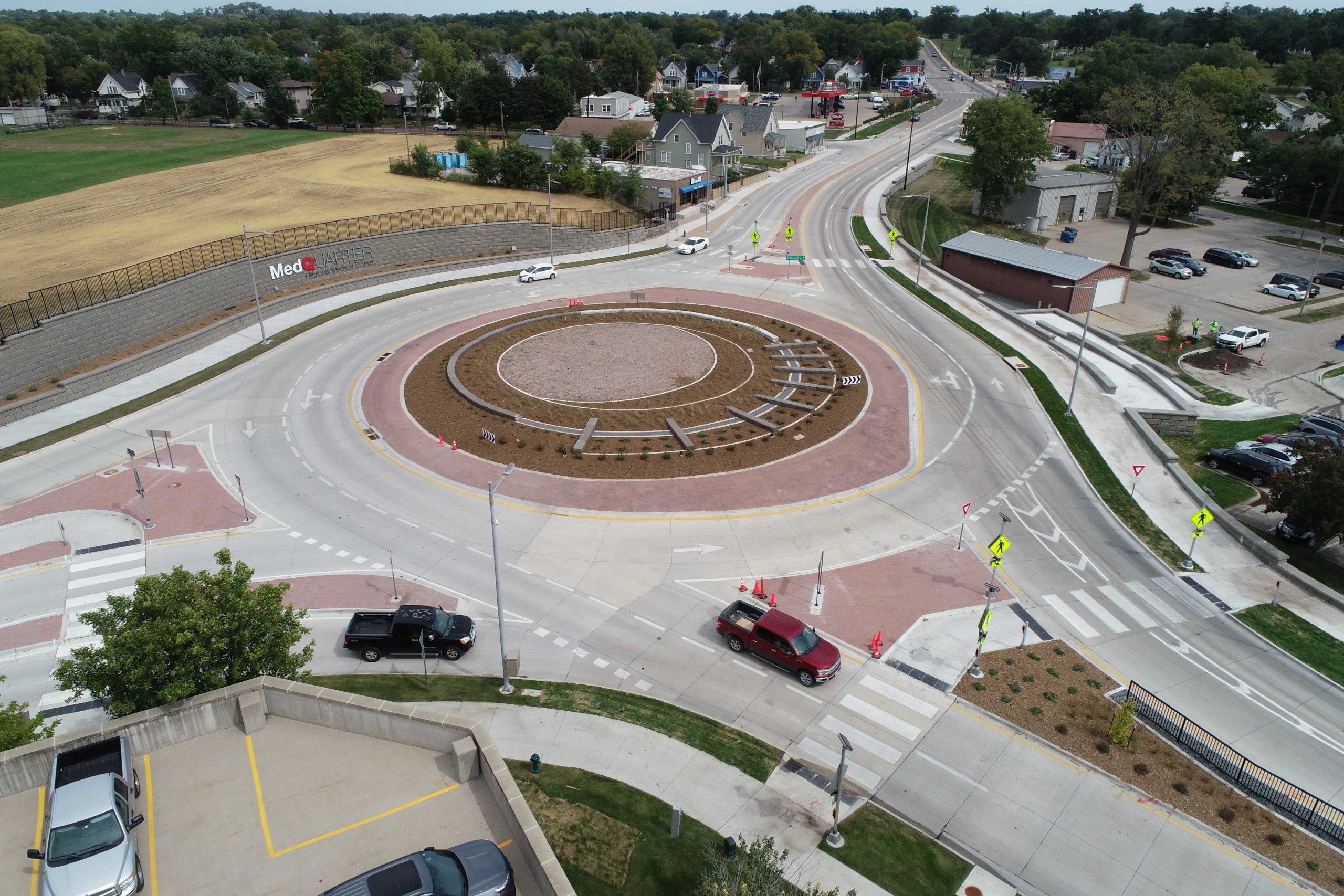
As a vital contributor to the watershed management group, Snyder & Associates provided modeling and mapping services to ensure the floodplain delineation of Walnut Creek was as accurate as possible. This detailed map gives communities and residents a more comprehensive depiction of risk profiles along the creek corridor. With this knowledge, city leaders and homeowners can take action to avoid potential property damage and unwarranted financial expenditures.
Understanding that active participation helps translate stakeholder needs into organizational goals, our team was directly involved in the stakeholder engagement process. These invested individuals from various organizations have a wide variety of backgrounds and were selected to provide input and guidance regarding the WMA’s goals. A shared motive was created through group meetings, allowing the stakeholders to confidently make decisions that pushed toward a successful outcome.
Hydrologic and Hydraulic Modeling Outline Action Plan for Vital Watershed
In the field of water resources engineering, hydrologic and hydraulic modeling are two separate tools used for water source analysis. The hydrologic and hydraulic models allowed our professionals to evaluate the impacts of various improvement options and the advantages/disadvantages of each scenario. Snyder & Associates used their expertise to complete this in-depth assessment, updating both model types for the Walnut and North Walnut Creek Watersheds.
The existing hydrologic model for the watershed was last evaluated in the ’90s, since then substantial development has occurred throughout the area. This specific model type focuses on rainfall and defining regional runoff. Without current updates, city planners were left with outdated data and an inaccurate representation of water trends. Therefore, accurately assessing the current development within the watershed was paramount for calibrating the hydrologic model. Developed by the US Army Corps of Engineer’s Hydrologic Engineering Center (HEC), the modeling performed by our team updated hydrology for the entire watershed area using a Geospatial Hydrologic Modeling System (HEC-GeoHMS). These processes gave insight into predicted responses to changing stresses, such as increases in precipitation, and formed a solid foundation for future mitigation projects.
In the same fashion, the existing hydraulic model also required an updated review. By conducting consecutive studies, our team was able to take advantage of the new hydrologic model’s data and information. Additionally, this update incorporated current field conditions and new Iowa Statewide Light Detection and Ranging (LiDAR) data, which was used as the base for the Digital Elevation Model (DEM). The completed hydraulic study updated figures for over ten miles of the watershed area using specific methods in the Geospatial River Analysis System (HEC-GeoRA).
Snyder & Associates compiled the final data from each study into a report for a Letter of Map Revision (LOMR) submittal to the Federal Emergency Management Agency (FEMA). This final summary provides the city with a tool that enhances and promotes effective community planning. More importantly, the data allows current and future residents to be more accurately informed regarding their flood risk. Moving forward, the main goals of the Walnut Creek Watershed Management Authority will focus on eliminating future risks while mitigating current issues. Snyder & Associates will continue to offer their expertise for this worthwhile watershed management endeavor.