precision on the ground, vision in the plan
SURVEYING IS THE CORNERSTONE OF PROJECT SUCCESS
Since 1977, land surveying has been a foundational service at Snyder & Associates. Our success stems from a deep understanding of local requirements, regulatory standards, and client goals. With experienced teams stationed across the Midwest, we proactively identify and address potential issues early, helping avoid costly project delays.
Our survey professionals are deeply embedded in the communities they serve, maintaining trusted relationships with property owners, agencies, developers, architects, attorneys, and contractors. This close collaboration allows us to deliver efficient, high-quality results tailored to each project’s unique needs.
We leverage our extensive experience, advanced technology, continuous training, and ongoing research to deliver comprehensive survey services. Our survey team employs the latest equipment and specialized software to efficiently carry out each task, ensuring dependable results right from the start.

reliable & precise solutions with
OUR LAND SURVEY SERVICES
Land Survey / Platting
- ALTA / NSPS Land Title Surveys
- Acquisition & Easements Plats
- Boundary / Retracement Surveys
- Right-of-Way Acquisitions
- Subdivision Platting
Preliminary Survey
- Topographic Survey & Subsurface Utility Engineering / Mapping
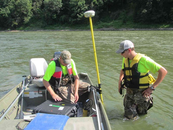
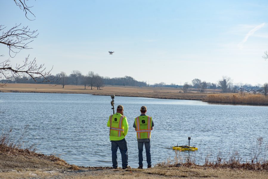
- Remote Sensing – UAS, Photogrammetry, LiDAR, SONAR Technology
- Flood Mapping / Elevation Certifications / Letter of Map Changes (LOMC)
- GIS Data Management
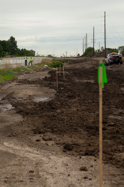
Construction
- Construction Layout
- Monument Preservation
- Record Drawings / As-Builts
our team