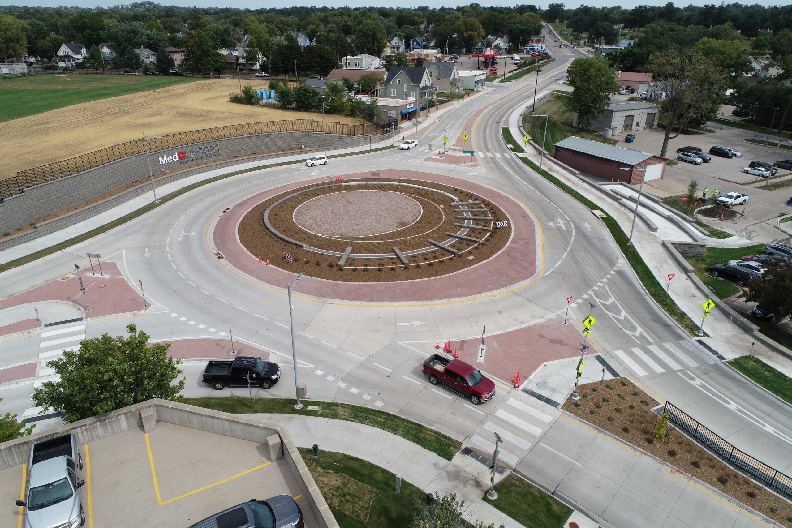
Environmental Services Expedite Trail Restoration
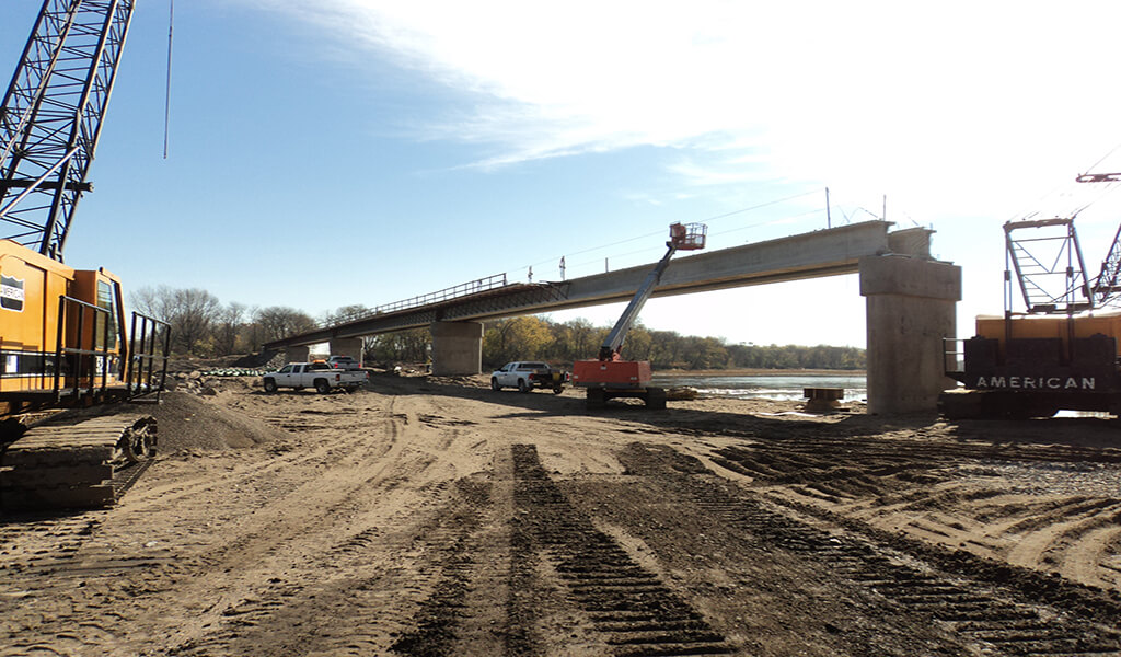
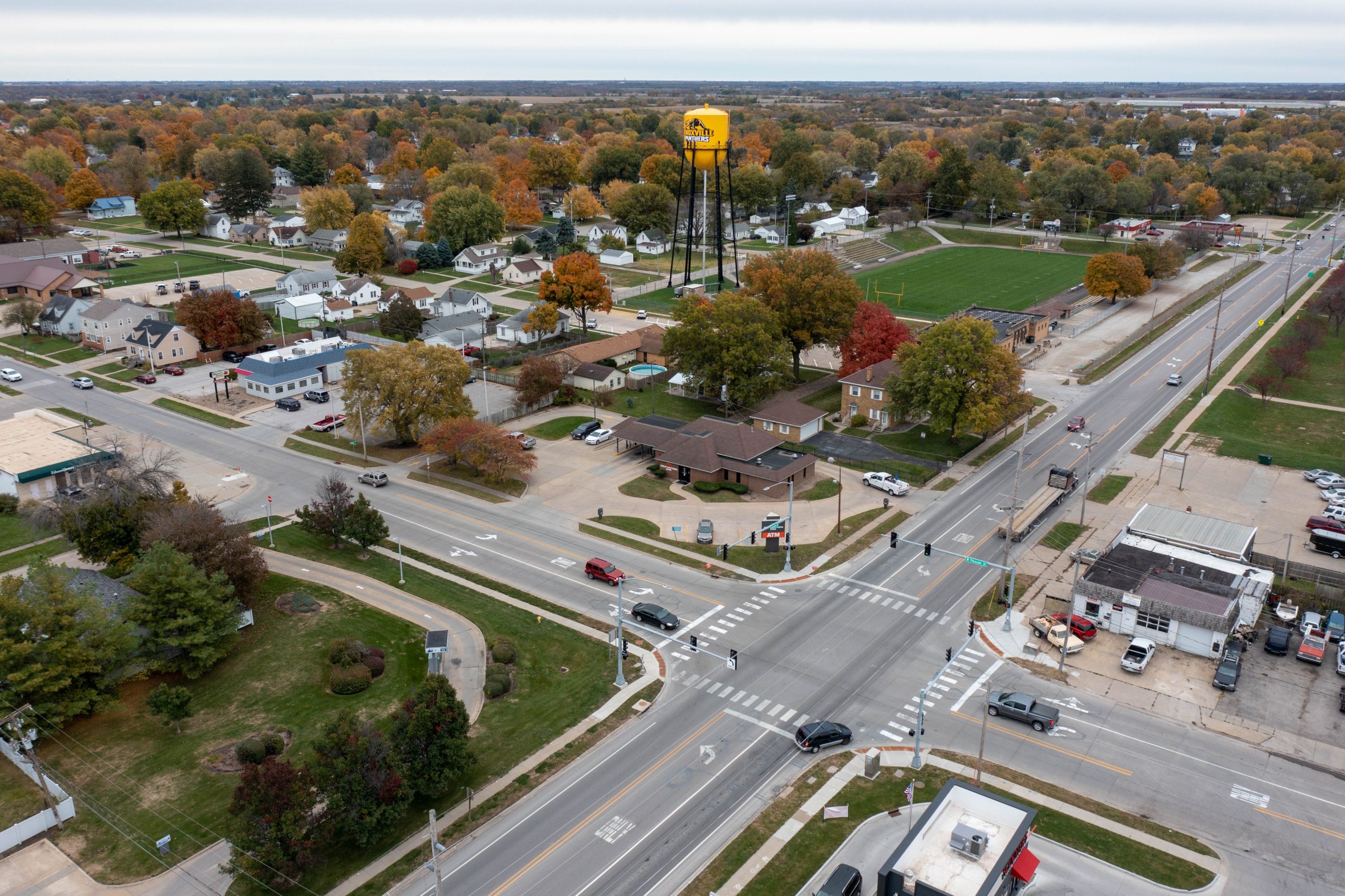
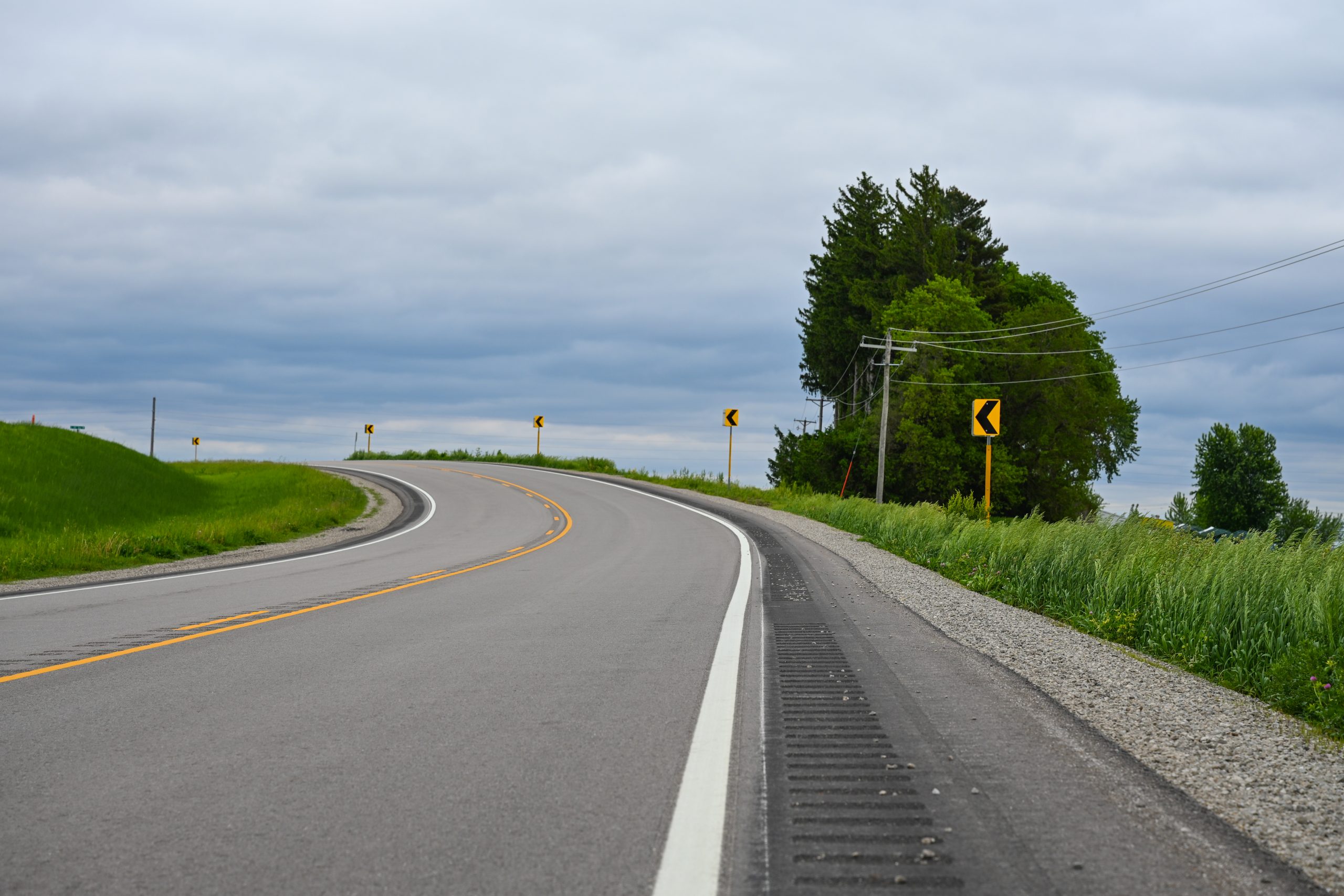
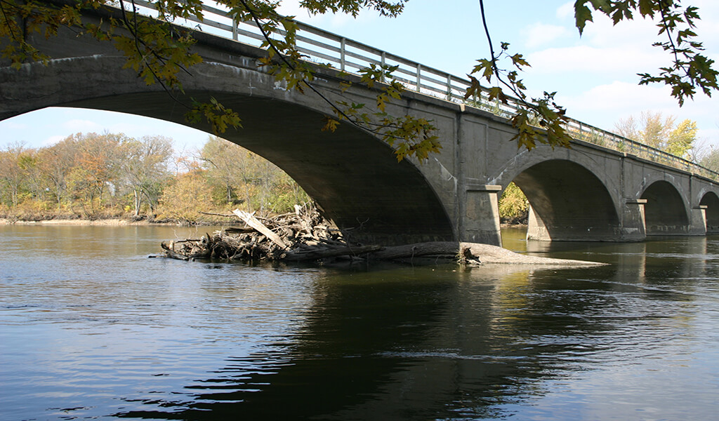
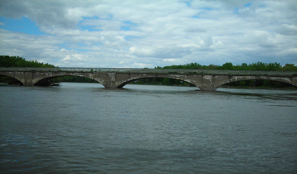
The Cedar Valley Nature Trail traverses nearly 52 miles from Evansdale to Hiawatha, crossing the Cedar River at multiple points. Both the Evansdale Trail Bridge and the trail bridge in McFarlane Park, just east of La Porte City were severely damaged in the 2008 flood event and closed due to safety concerns that necessitated complete reconstruction.
When it came to the reconstruction of the bridges and the flood-damaged sections of the trail, Black Hawk County leaders recognized the trail’s path through the floodplain of the Cedar River, forested areas, wetlands, and rolling farmlands would require a multitude of environmental services. The environmental experts with Snyder & Associates were brought on board to guide this challenging project through the labyrinth of wetland mitigation permitting.
McFarlane & Evansdale Bridges Key to Trail Restoration
The McFarlane Trail Bridge, originally built as part of the Waterloo, Cedar Falls, and Northern Railroad (WCF&N), featured dramatic closed-spandrel arches, while its proposed replacement boasts a modern structure that stretches 728-feet long. Similarly, the proposed Evansdale structure stands six feet taller than its predecessor and spans 576-feet over the Cedar River, providing a 12-foot wide path for trail users.
Evansdale Bridge before flood damage and reconstruction.
McFarlane Bridge before flooding and reconstruction.
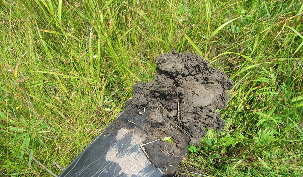
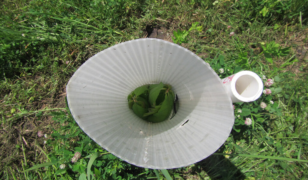
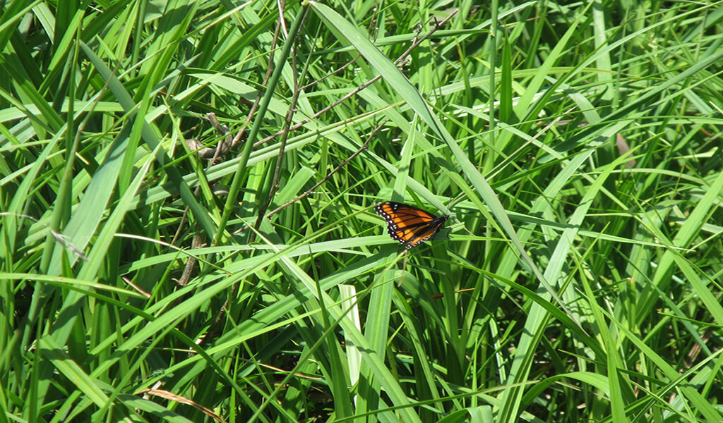
Since all project locations were on or near the Cedar River, environmental impacts were a foregone conclusion. During our team’s onsite reviews, critical wetland areas were identified by analyzing vegetation, soils, and hydrologic indicators. Boundaries were carefully outlined and mapped. By accurately delineating wetlands, our environmental scientists determined there would be permanent loss of wetlands due to the construction of both bridge projects. The impacts were calculated and separated by wetland type to determine appropriate mitigation options.
Maintaining Wetland Habitat & Biodiversity through Replacement
Before the type of mitigation is determined, the process requires that actions be taken during the planning phase to minimize the impacts of construction. If impacts are determined to be permanent, mitigation bank credits can be purchased to offset the effects. If credits are not available, an alternative site can be located to create or enhance a wetlands area. Wetlands that are temporarily impacted during construction may be restored to preconstruction conditions.
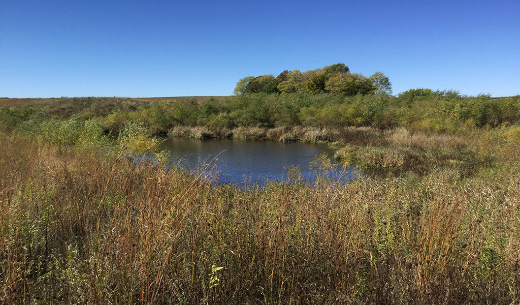
For the Evansdale and McFarlane Bridge projects, wetland credits were not available. It was decided that creating wetlands off-site was the best option. This decision, however, introduced the challenge of finding available land. Our team assisted in forming a partnership between Black Hawk County and Tama County to find a suitable land replacement for the wetland areas lost through the projects. With this union established, approximately two acres of land was allotted for wetland creation at Hickory Hills Park located southwest of La Porte City.
At the project sites, the impacted wetlands were classified as both emergent and forested wetlands. These same varieties were replicated in Hickory Hills Park at higher ratios, otherwise known as in-kind mitigation.
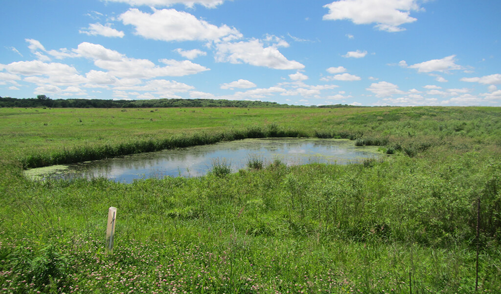
Wetland mitigation site at Hickory Hills Park was used to compensate for wetland loss during trail construction.
Avoiding Delays through Wetland Permitting
Obtaining state and federal wetland permits can be a time-consuming process. Therefore, site assessments should be conducted early on in the project to avoid delays. Throughout these two projects and the entire design of the Cedar Valley Nature Trail, our environmental scientists compiled information to facilitate coordination between the regulatory agencies and other state and federal stakeholders during the permitting process. By utilizing this expertise, we’re able to successfully prepare the appropriate permitting applications on behalf of our clients to obtain authorization for their project in an expedited manner.
Along this 52-mile trail, two significant sanctions were obtained — Section 404 of the Clean Water Act and several Flood Plain Development permits. Section 404 permits seek to avoid or minimize losses to wetlands and other Waters of the United States (WOTUS) by regulating discharge, while flood plain permits are required when working in the floodplains of streams and rivers. After receiving the permits, the construction of both bridges and wetland mitigation sites was completed. Annual monitoring of the wetland mitigation sites continued for five years to ensure stable wetland conditions.
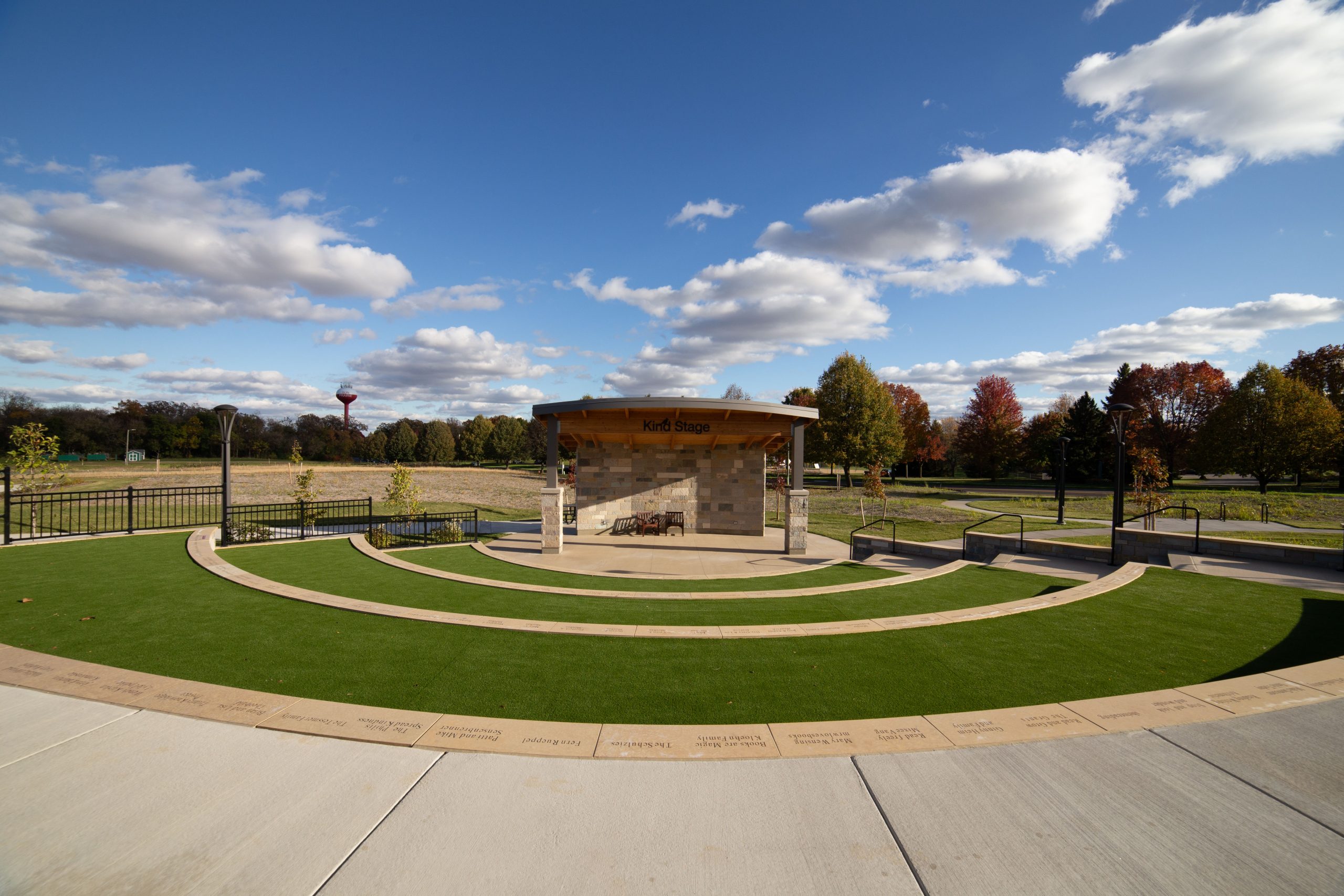
Getting prepped and ready for a large-scale engineering project is no easy task. Between resourcing, budgeting, and scheduling, it can be challenging for community leaders to carve out time to understand the potential environmental impacts a plan may have. However, this unique project shows just how important environmental preplanning can be. Now completed, the upgrades to the Cedar Valley Nature Trail once again provide miles of multi-use trails, used by nearly 100,000 people annually, including bicyclists, walkers, runners, bird watchers, and others looking to connect with nature. It is clear these trails bring us closer to nature. By offsetting wetland loss, we ensure that our wetlands, as well as the habitats they contain, stay protected.