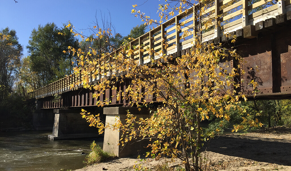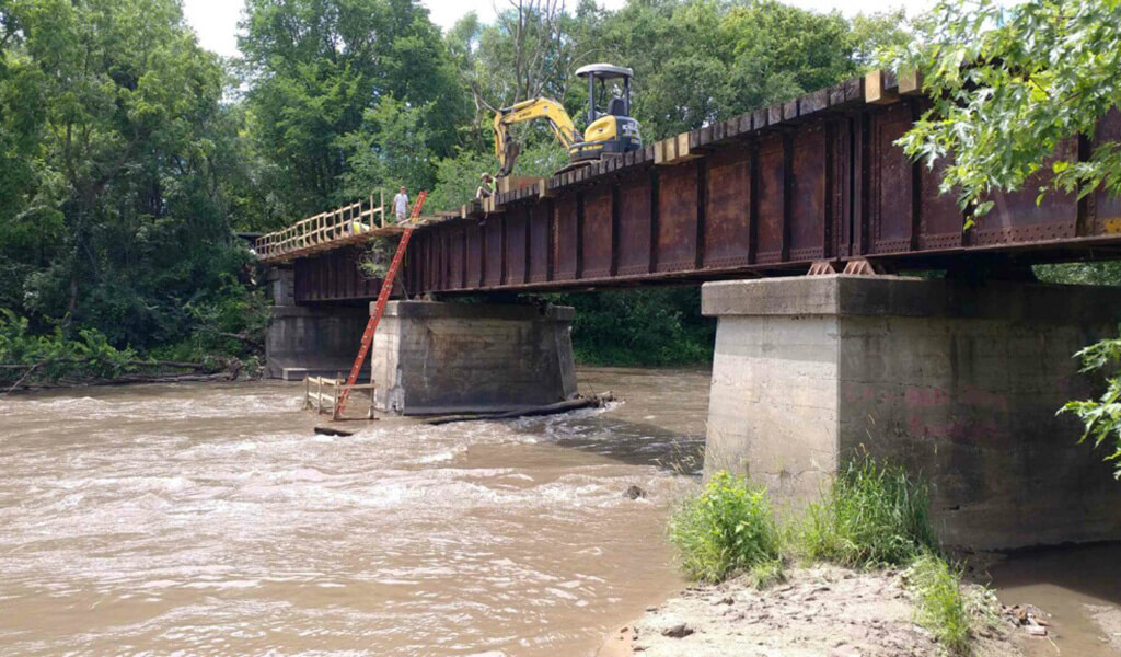
Crews work on the rehabilitation efforts on the former railroad bridge over the Iowa River.
While it’s been many years in the making and still has many miles remaining to construct, the River’s Edge Trail is ideally positioned to take advantage of the scenic beauty, diverse wildlife habitat, and sprawling wetlands in the heart of Iowa. Currently, two segments are open at either end of the trail. When completed, however, the approximately 37-mile-long trail will connect Steamboat Rock to Marshalltown, passing through many communities in between. The Snyder & Associates team has been intimately involved in the extensive trail planning and bridge evaluation projects, working closely with Hardin County officials on the northern leg of the trail.
Following a former railroad corridor, the River’s Edge Trail (formerly Iowa River Trail) will ultimately connect seven cities and two counties to the Iowa River Greenbelt and the Central Iowa Trail Network. Additionally, connections will be made to a handful of local trail networks, including the Iowa River State Water Trail, Gunderson Trail in Eldora, Bates Trail in Union, and the Pine Lake State Park Trail east of Eldora.
Steamboat Rock Bridge over Iowa River
Our team initially began on this project in Steamboat Rock, working to design a 0.6-mile section of trail that starts at South 1st Street and heads west through a tree-lined corridor. The structural engineers from Snyder & Associates subsidiary, Shuck-Britson, developed plans to rehabilitate a nearly 100-year-old railroad bridge over the Iowa River. This 60’-long deck girder bridge was reinforced and retrofitted with a paved surface and decorative rails to accommodate bicyclists and pedestrians.
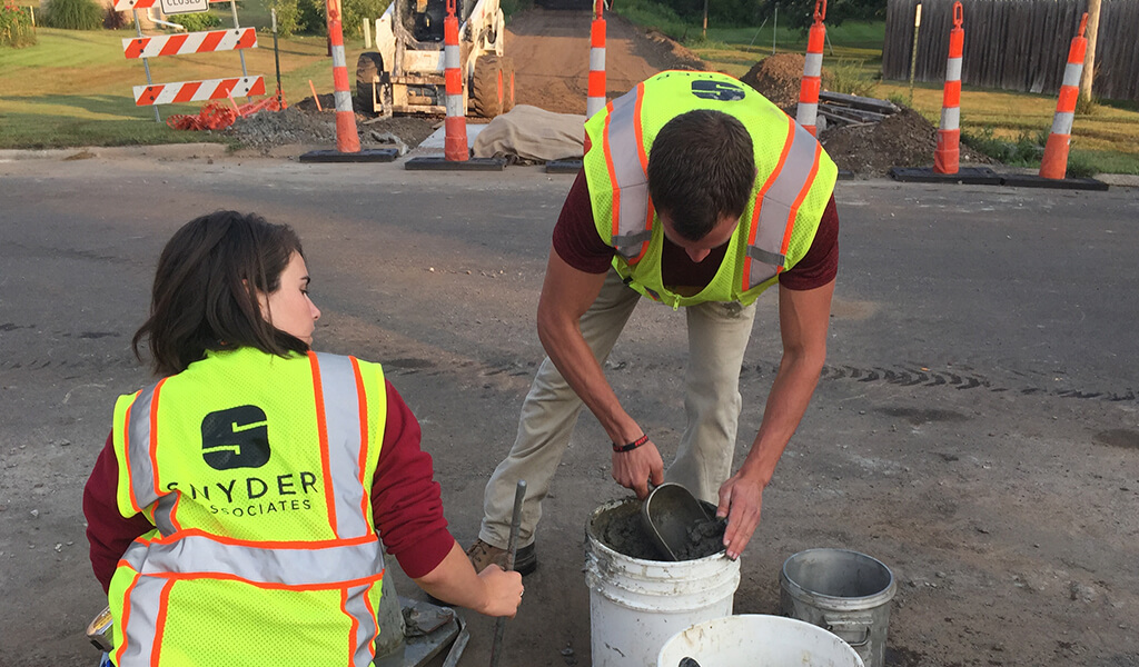
Our team performed an air and slump test on the concrete as part of the construction observation process.
From the Iowa River crossing, our team designed the trail alignment south to the community of Eldora, crossing several rural roadways. At the 215th Street (T Avenue) location, we incorporated a box culvert as a trail tunnel under the roadway, creating a safe passage for trail users. To date (2022), the entire trail from Steamboat Rock to Eldora is paved. Planning work and funding securement efforts will continue until the two trail sections meet around the Marshall and Hardin County lines.
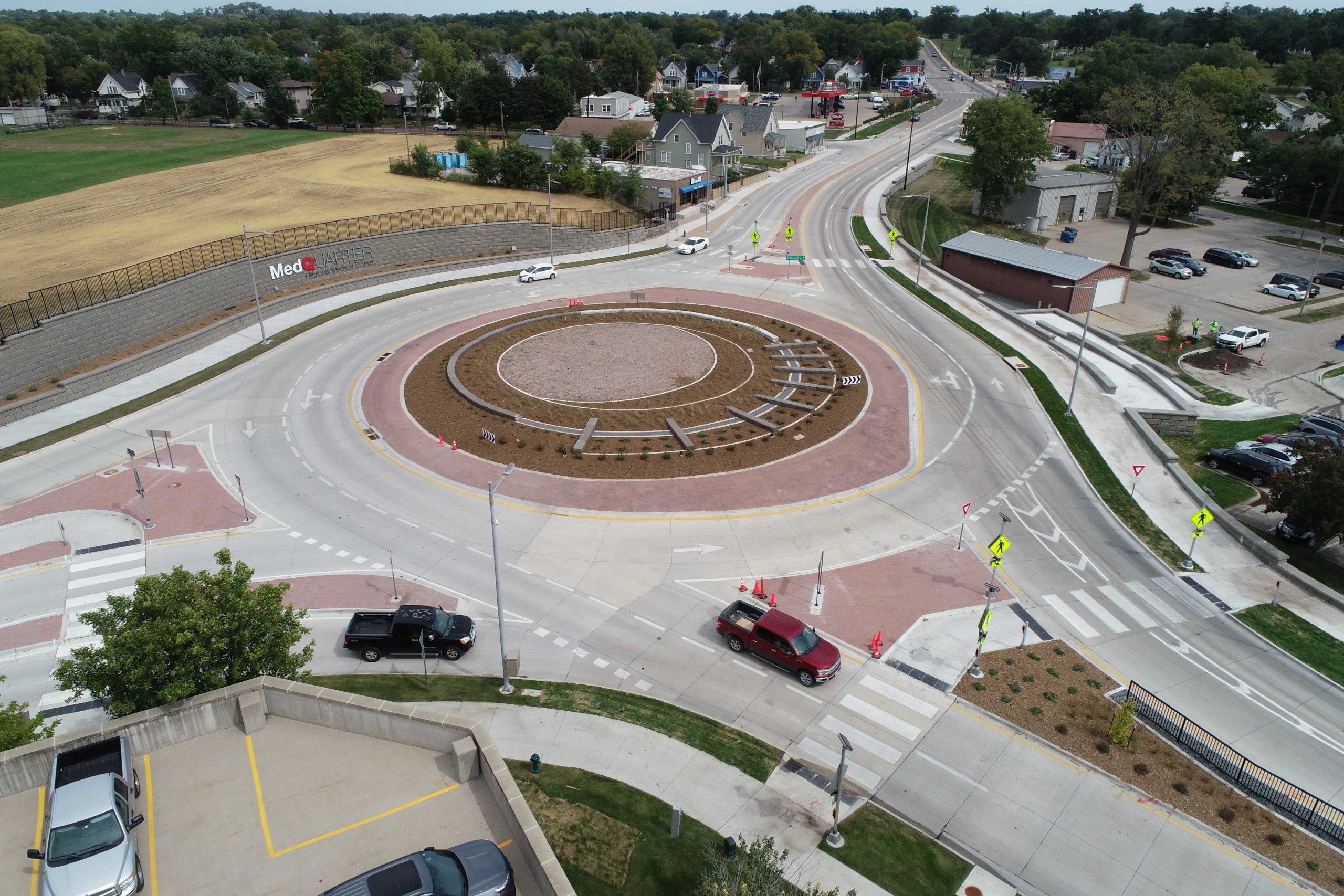
Public Support Keeps Trail Development on Track
Like many multi-use trail projects, public buy-in and enthusiasm are critical to help keep them moving forward. The collaborative effort between Marshall and Hardin County officials, private groups that led fundraising efforts, and a design team dedicated to creating first-class amenities was the driving force that generated a level of enthusiasm that has not waned. With an estimated 223,000 people living within a half-hour drive of the new alignment, it’s anticipated that the River’s Edge Trail will provide ample opportunities to locals and visitors alike for recreation and exploration through America’s heartland.