Watershed Improvement Efforts Establish Purpose
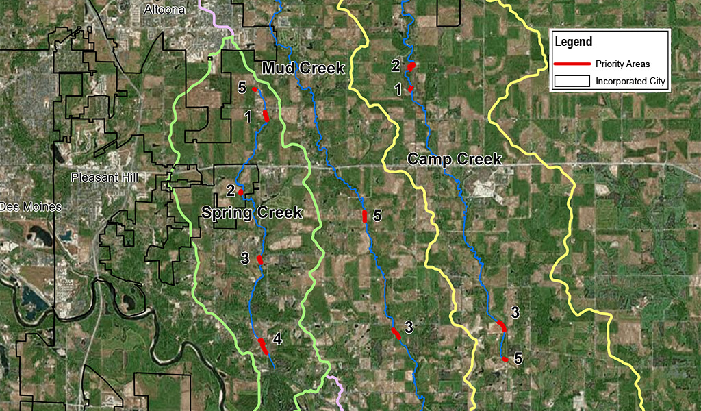
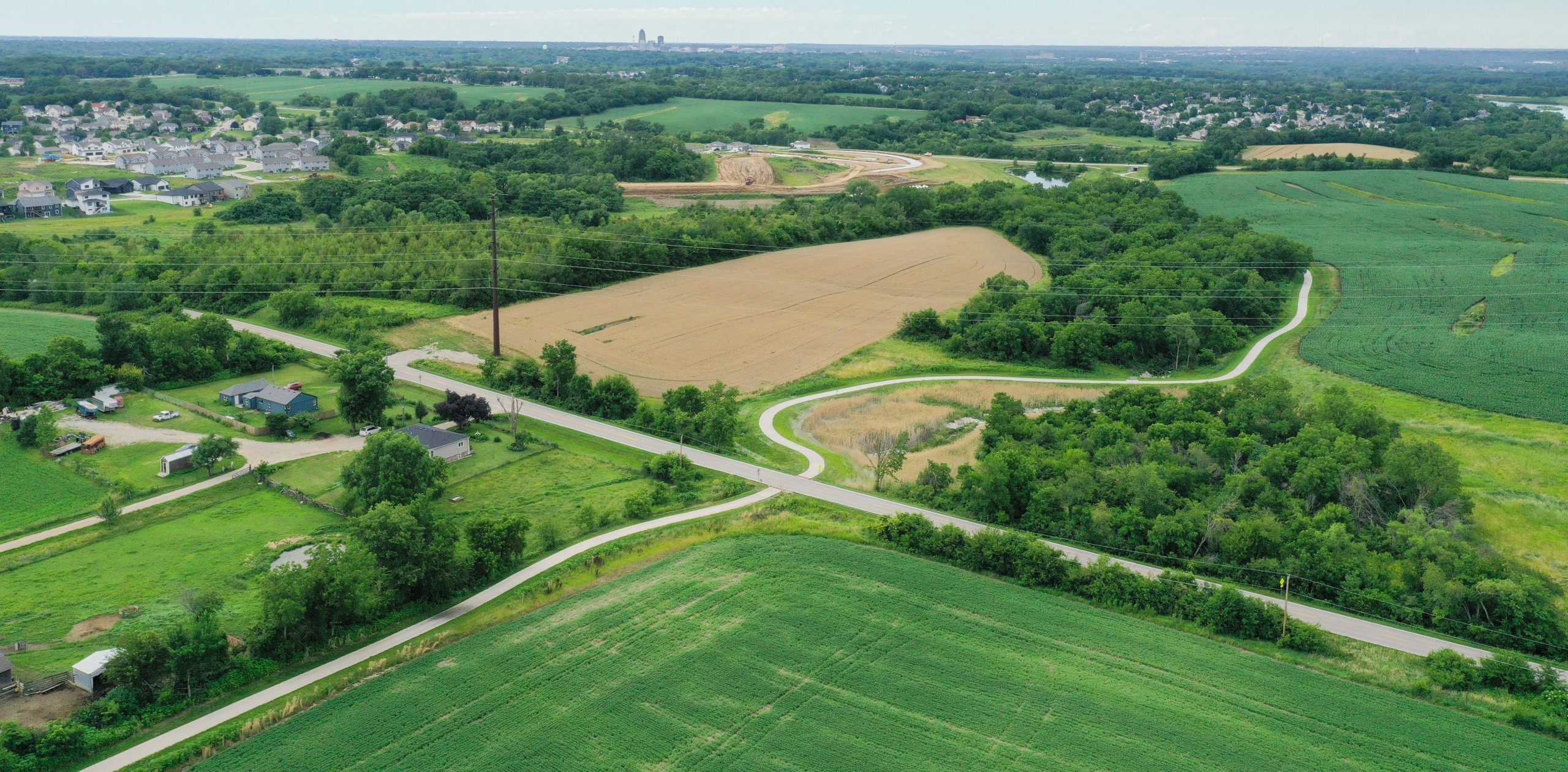
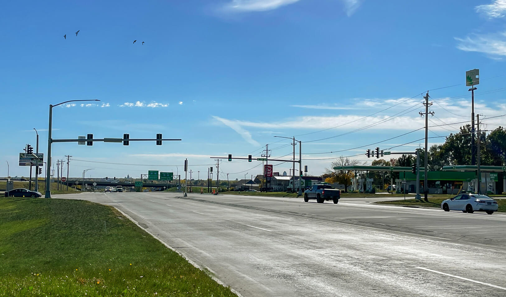
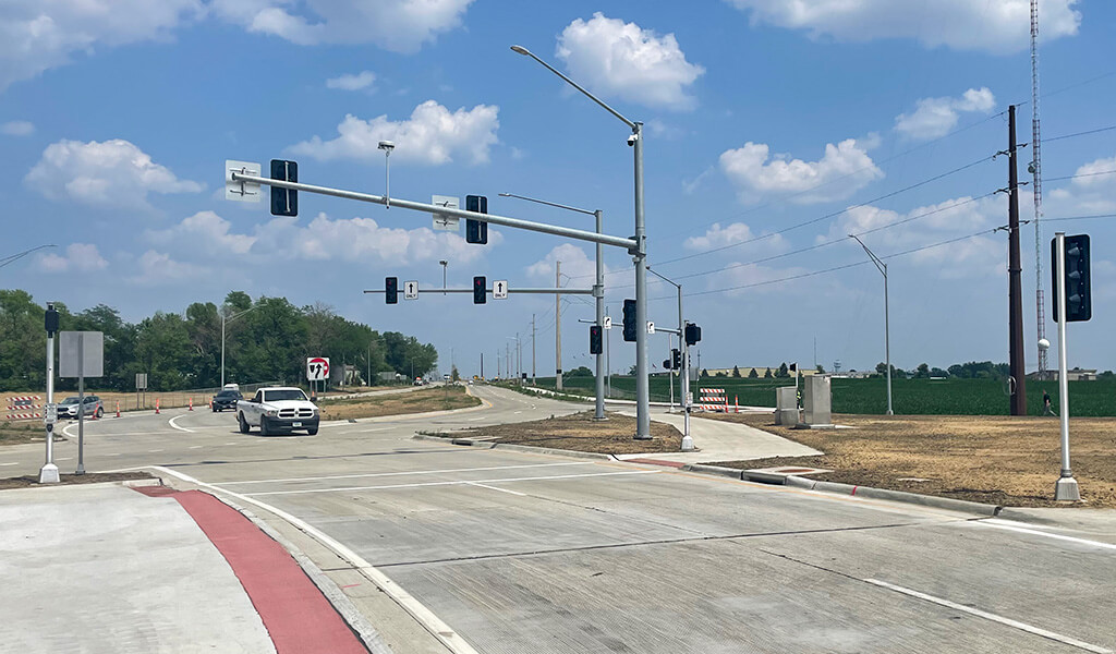
![]() The expansive watersheds from Mud Creek, Camp Creek, and Spring Creek encompass nearly 65,000 acres across Central Iowa. Throughout this area, these creeks and their tributaries span over 50 miles before joining the Des Moines River. Land use within this trio of watersheds is predominantly agricultural, featuring an abundance of corn and soybean fields used to produce a high percentage of the nation’s food supply. However, the continuing growth of Altoona and Pleasant Hill is increasing impervious surfaces and, in turn, stormwater runoff across these watersheds. This increased runoff and accompanying pollutants drain into the streams causing heightened concerns for flooding, nutrient pollution, and stream bank erosion.
The expansive watersheds from Mud Creek, Camp Creek, and Spring Creek encompass nearly 65,000 acres across Central Iowa. Throughout this area, these creeks and their tributaries span over 50 miles before joining the Des Moines River. Land use within this trio of watersheds is predominantly agricultural, featuring an abundance of corn and soybean fields used to produce a high percentage of the nation’s food supply. However, the continuing growth of Altoona and Pleasant Hill is increasing impervious surfaces and, in turn, stormwater runoff across these watersheds. This increased runoff and accompanying pollutants drain into the streams causing heightened concerns for flooding, nutrient pollution, and stream bank erosion.
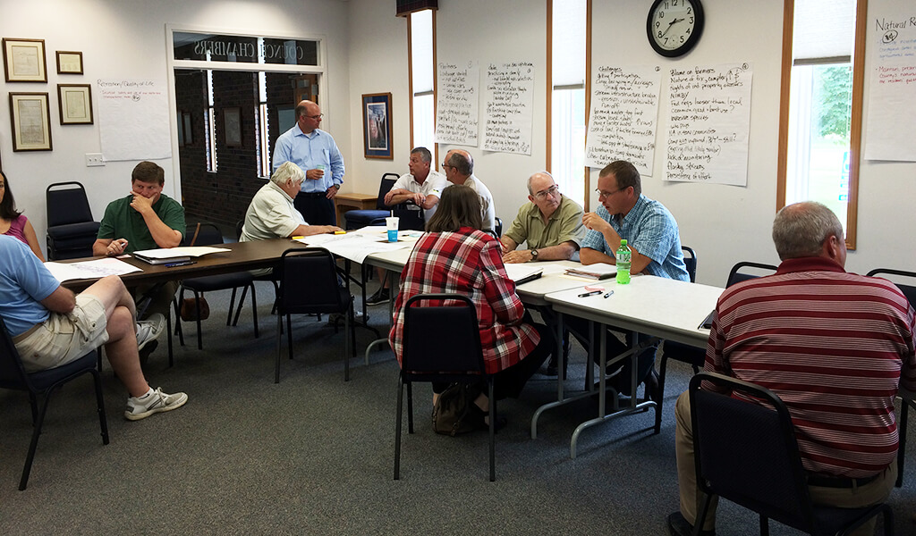
As part of a collaborative agreement, Snyder & Associates, numerous watershed stakeholders, and several local jurisdictions joined together to create the Mud, Camp, and Spring Creek Watershed Management Authority (WMA). This group is focused on facilitating partnerships and collaboration to both improve water quality and reduce flooding across the watershed. Together, this association developed the Mud, Camp, and Spring Creek Watershed Management Plan (WMP) to help guide the effort. The purpose of the plan was to develop specific goals that will benefit the watershed by:
- Reducing damages from flooding
- Documenting and improving water quality
- Providing educational resources for the general public
- Creating expanded and improved recreational opportunities
The WMP document presents the current state of the watershed, concerns, and challenges facing the watershed, and implementation recommendations for watershed goals developed through the planning process. This comprehensive plan was developed with large amounts of research and significant public participation. It will serve as the primary tool to make decisions regarding development, planning, and future watershed decisions.
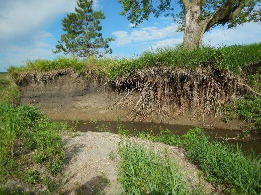
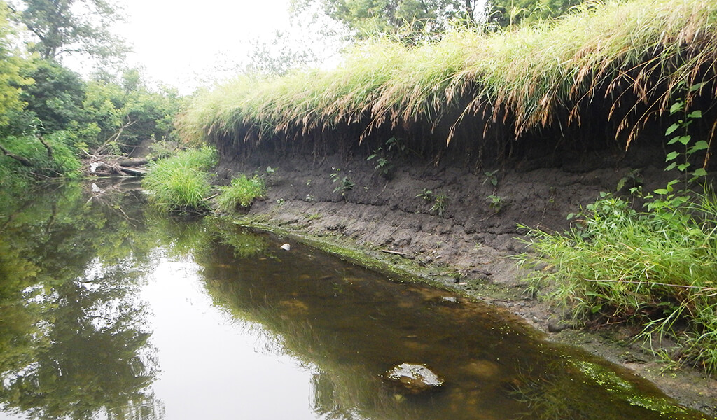
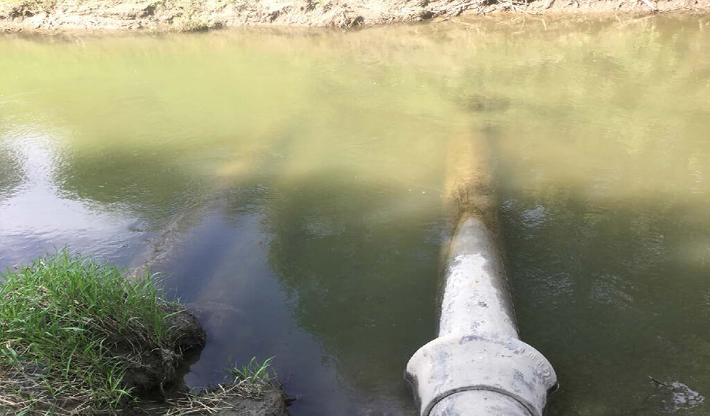
Severely eroded soils along the banks of Spring Creek
Creating Flood Resiliency While Improving Water Quality
During the development process, the group produced recommendations and strategies to address both flooding and water quality issues within the three watersheds. The first of these directives was the adoption of consistent stormwater standards on a watershed- and region-wide basis. Implementation of uniform strategies and practices within the Mud, Camp, and Spring Creek Watersheds help to ensure a positive response from citizens, jurisdictions, and other stakeholder groups. This consistent method also helps provide clear standards everyone can reference and understand throughout the mitigation processes.
Next, goals were broken down across the two predominant landscapes — urban and rural spaces. Specific recommendations focused on improving water quality and reducing flooding for both land-use types include:
Agricultural:
- Incorporate cover-crops in off-seasons
- Reduce tillage of fields
- Manage the source, amount, and timing of nutrients
- Initiate conservation crop rotations
- Add water and sediment control basins
Urban:
- Reduction of impervious surfaces
- Incorporate native landscaping
- Improve topsoil conditions
- Reduce fertilizer use
If implemented in combination, this list of tasks can collectively benefit the overall watershed health and significantly increase community flood resiliency.
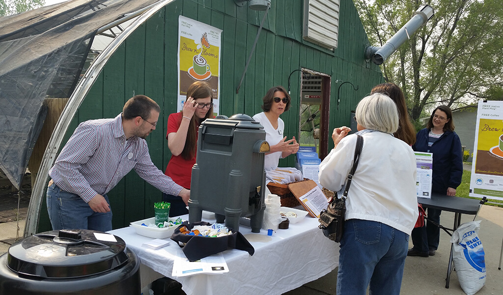
Expanding Recreational Opportunities with Community Input
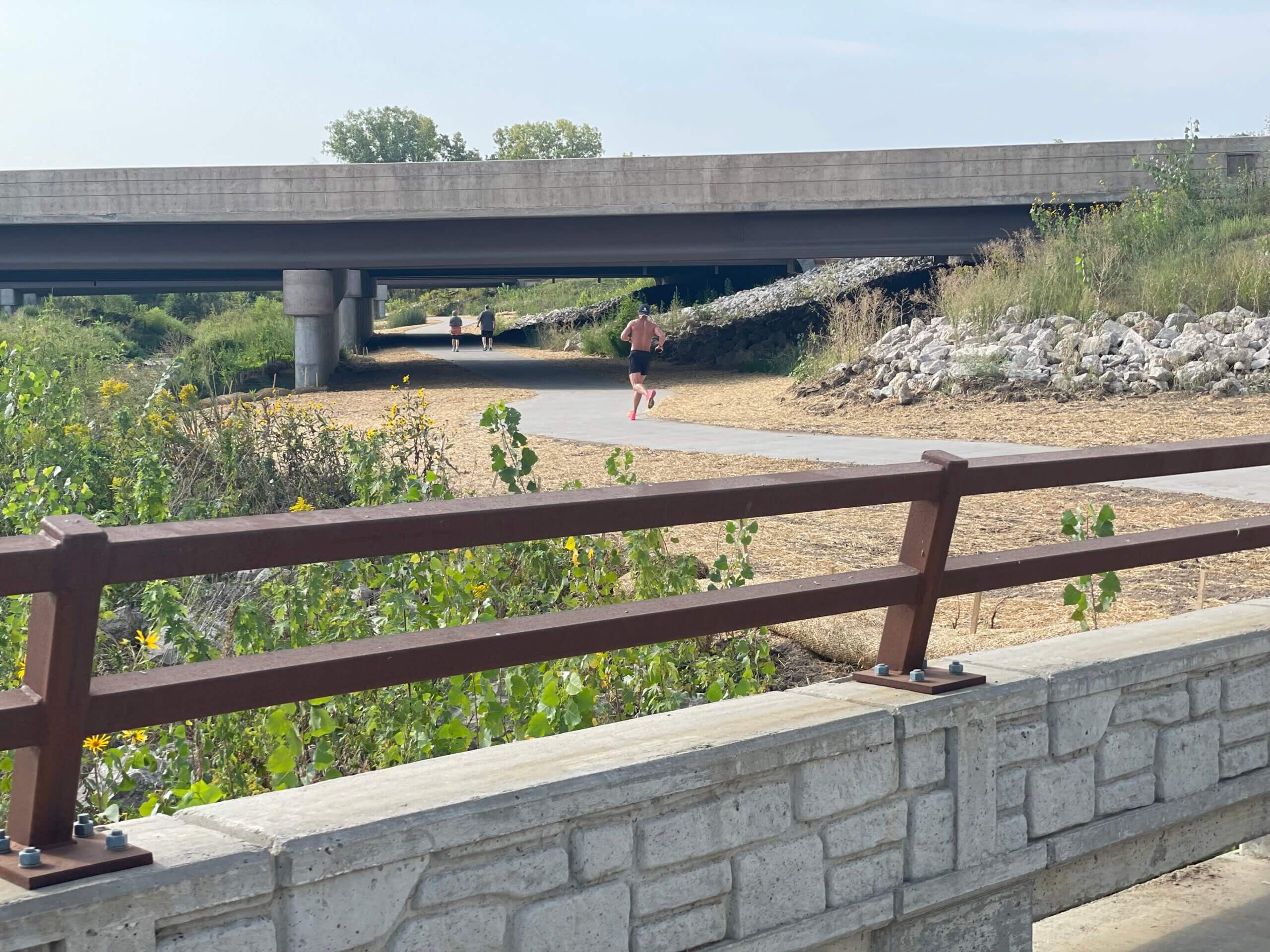
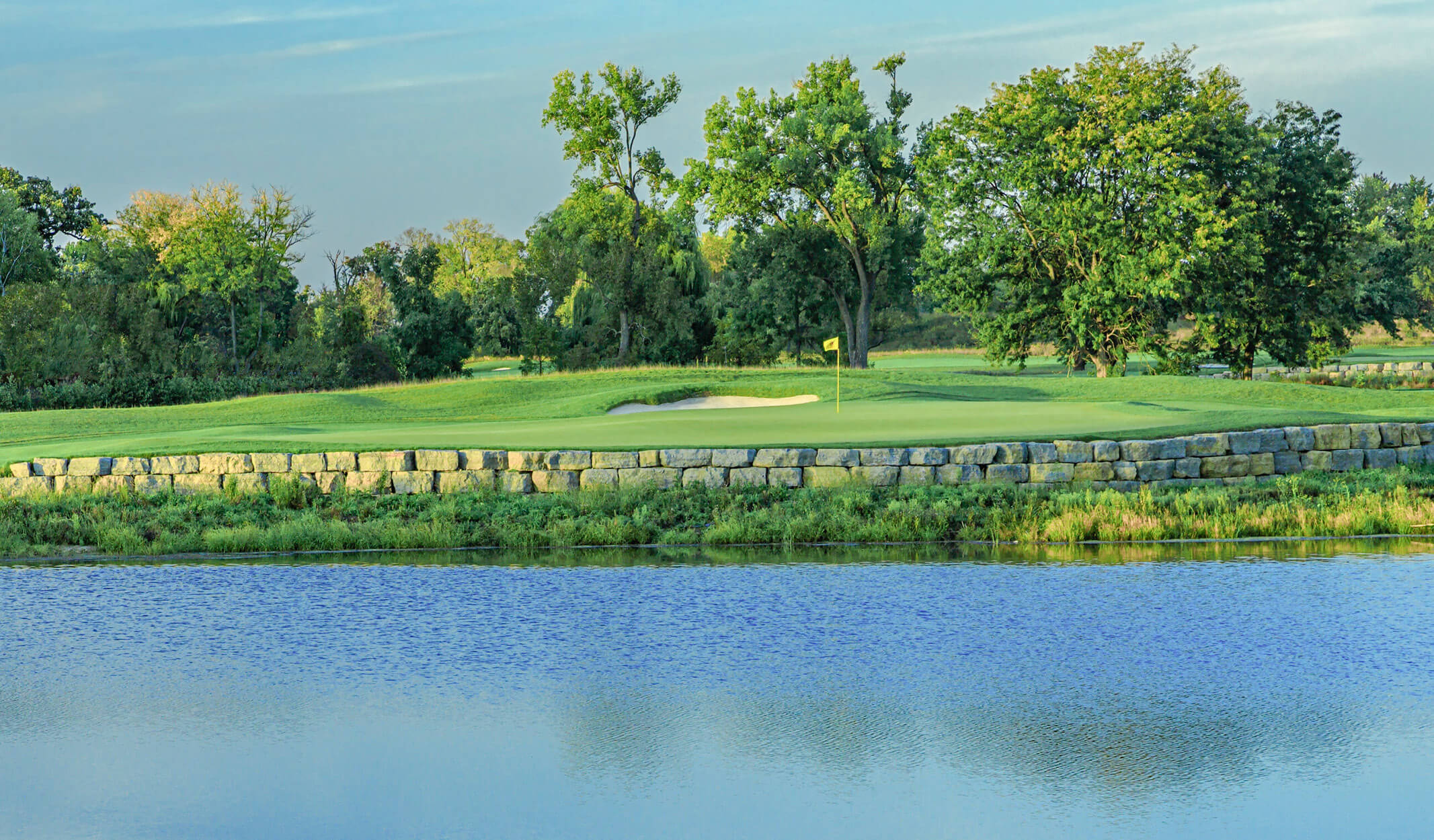
These specific watersheds are full of recreational amenities, including trails, parks, birdwatching sectors, and other natural wildlife areas. Still, with improved water quality, they have the opportunity to introduce swimming, diving, water skiing, fishing, and canoeing or kayaking.
Based on information received through input sessions with community members and stakeholder groups, the Snyder & Associates team recognized the value these added activities could bring to the communities. This lead to the creation of examples of how mitigation efforts and recreational features could be combined to provide a shared benefit. The introduction of these activities would further promote conservation, environmental stewardship, and education, all while encouraging public access and citizen involvement.
The Mud, Camp, and Spring Creek WMA has sustainable plans to continue its efforts toward making environmental improvements, including facilitating agricultural conservation practices, promoting urban growth, and discovering funding possibilities available for the watershed. The WMA members are focused on using this comprehensive plan to improve water quality and reduce flooding now and into the future.