2024 Engineering Excellence Awards, Honor Award Winner in the Transportation Category awarded by the American Council of Engineering Companies (ACEC) of Iowa
In the heart of unincorporated Polk County, a bustling two-lane corridor known as US Highway 69 (NE 14th Street) has long been a critical lifeline connecting Des Moines with the thriving suburb of Ankeny.
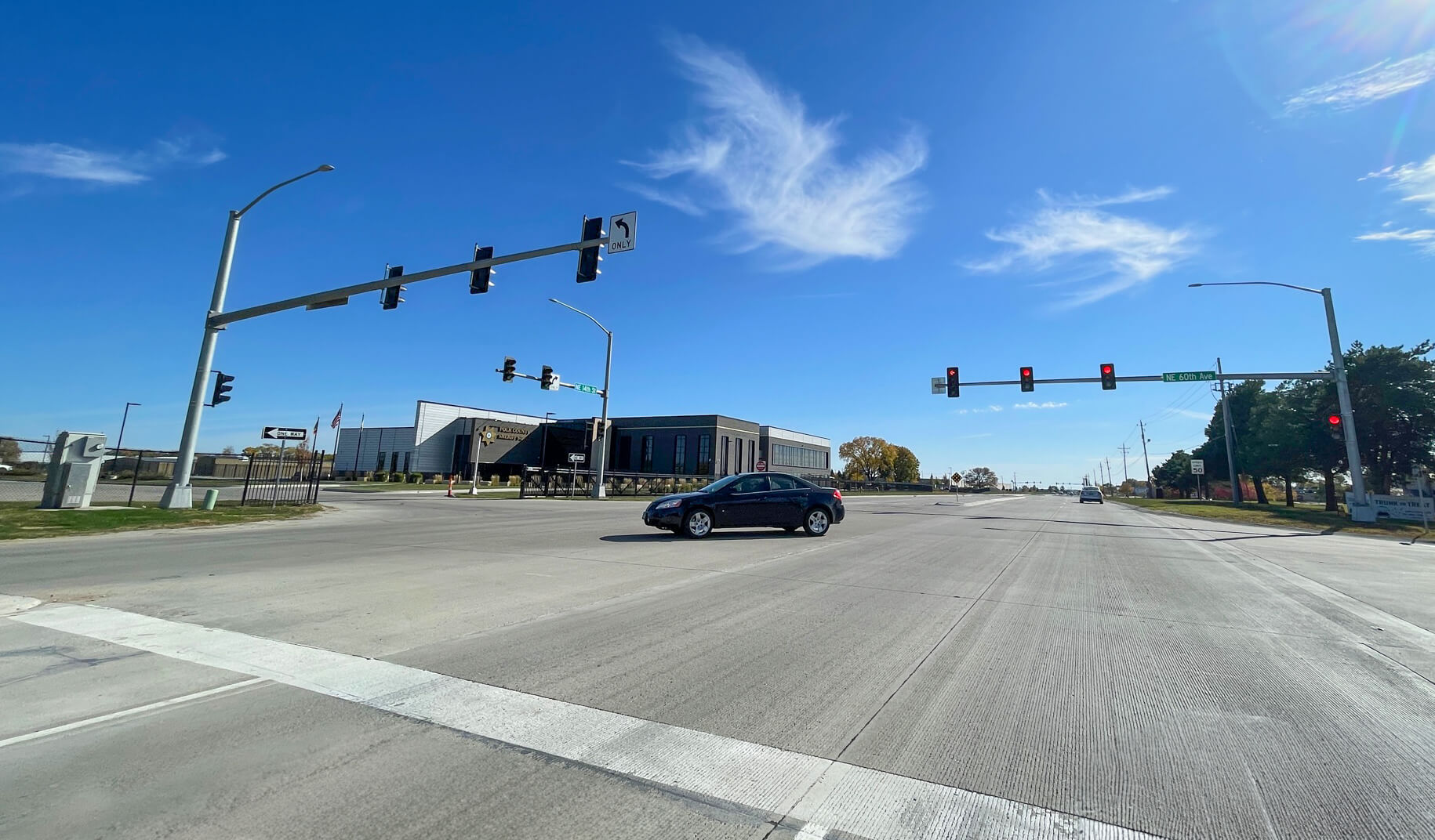
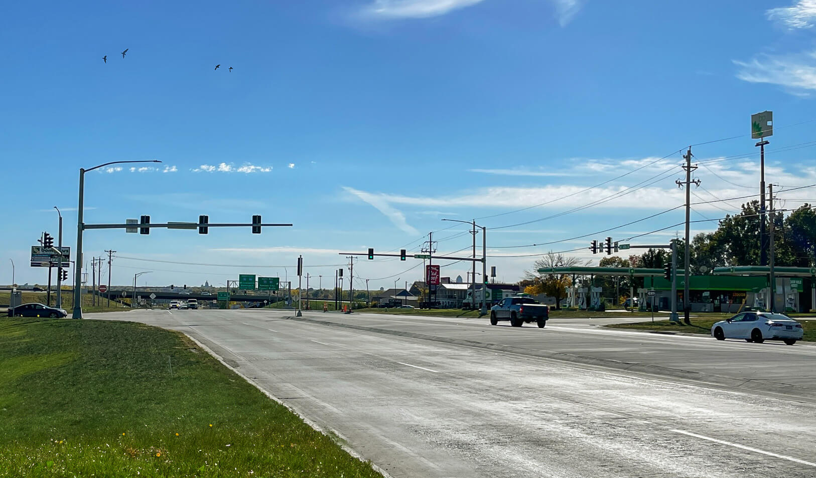
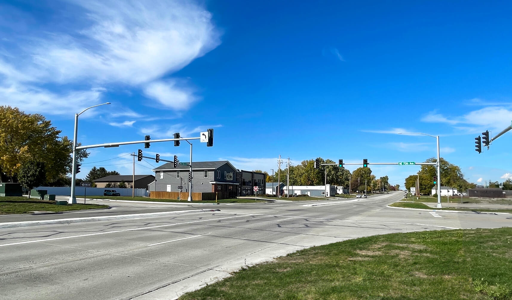
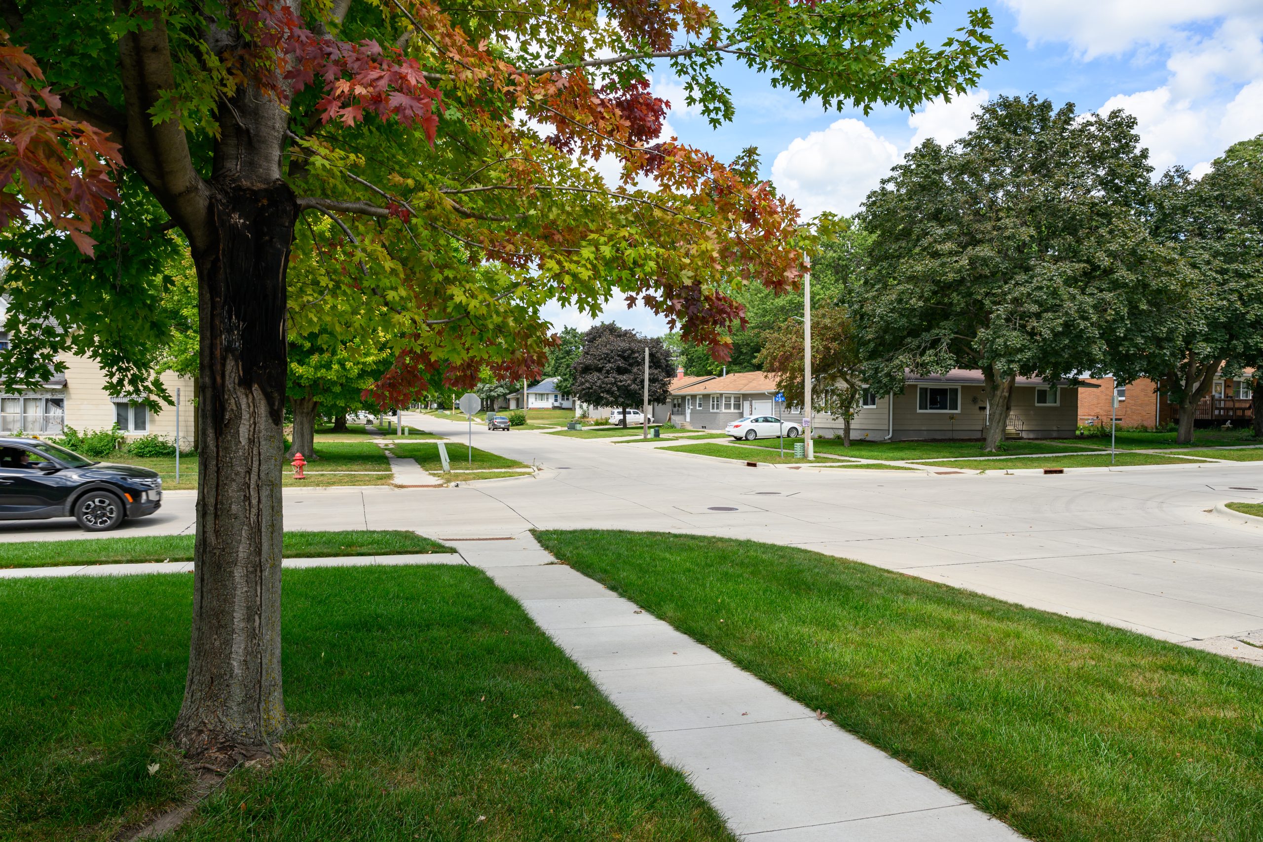
Raised medians throughout the corridor create a safer environment for all motorists.
This vital artery bears a load of up to 11,000 vehicles daily, but as the years roll on, it is anticipated to accommodate a staggering 24,000 cars each day by the year 2050. To meet this growing traffic demand, the Snyder & Associates team was tasked by the Iowa Department of Transportation (DOT) with developing a plan for the reconstruction of a three-mile stretch of US 69, transforming it from a two-lane rural roadway into a modern, four-lane divided urban thoroughfare.
The land that flanks this corridor is a diverse tapestry of commercial enterprises, industrial hubs, and residential neighborhoods. The plan includes six strategically placed signalized intersections, enhancing convenience and safety for commuters navigating this bustling stretch of road. This monumental undertaking, which commenced in 2021, has already achieved remarkable milestones as it wraps up in 2023.
Revolutionized Roadway Reconstruction: Static LiDAR Scanning Ensured Precision and Safety
Innovation has often paved the way for progress, and the US 69 Reconstruction project was no exception. At its core, the project’s success story began with our team’s implementation of cutting-edge surveying techniques that guaranteed precision and prioritized the safety of those who worked on-site.

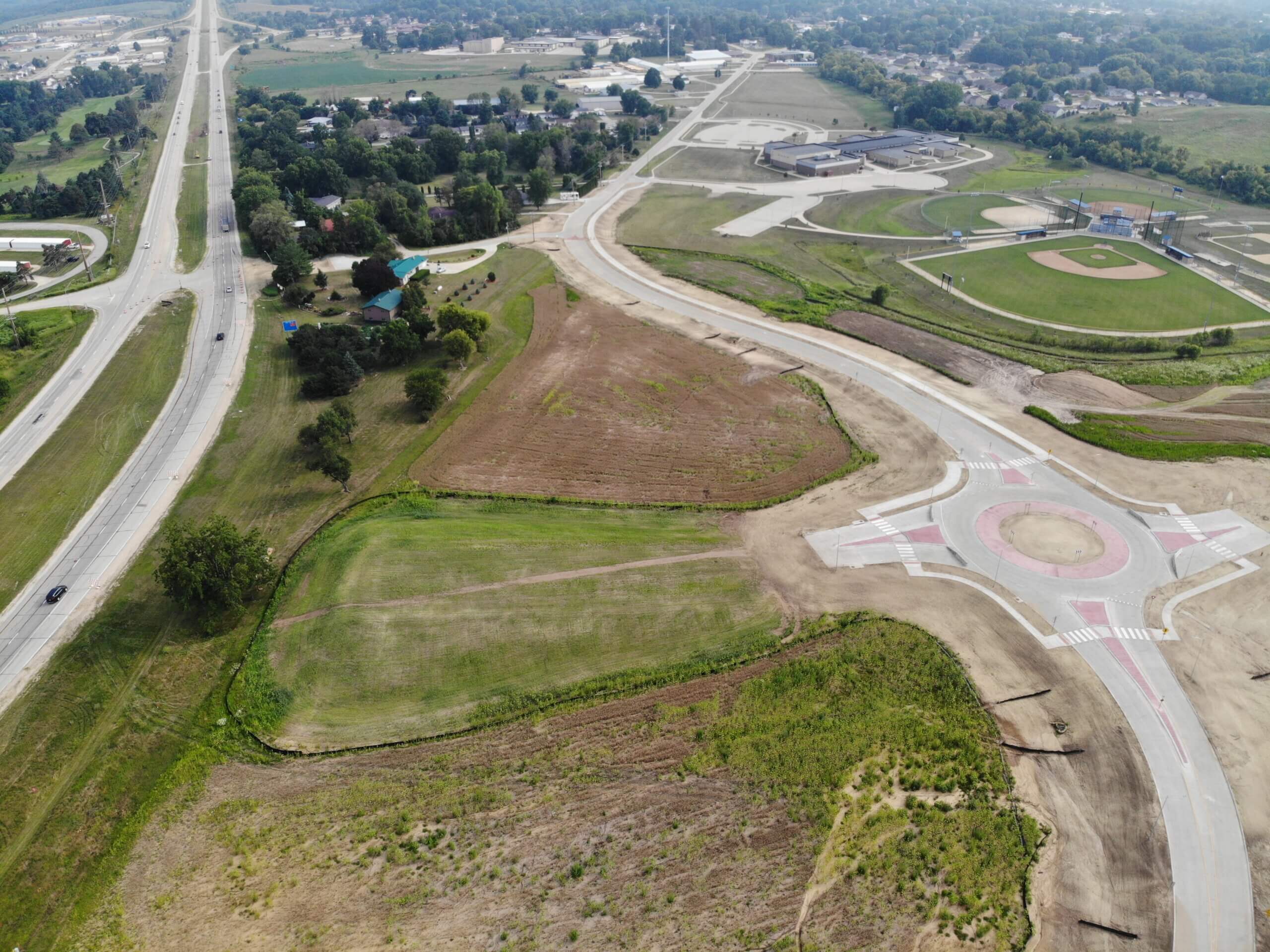
The highly detailed LiDar image ensured the new roadway aligned with the existing pavement.
The project team fully utilized Static LiDAR scanning. By harnessing the power of lasers and advanced sensors, LiDAR creates a highly detailed, 3D representation of the environment, in this case, the existing roadway pavement of US Highway 69. Static LiDAR scanning captured a comprehensive, high-resolution dataset of the roadway, leaving no room for guesswork. This precise information served as the cornerstone for the entire reconstruction project. It also ensured that the new four-lane divided urban roadway aligned flawlessly with the existing pavement, guaranteeing a seamless transition and a road that meets the Iowa DOT’s quality standards.
Safety is paramount in any construction endeavor, and Static LiDAR scanning has transformed safety protocols. Traditional surveying methods often necessitate surveyors to physically enter the work zone, exposing them to the risks inherent in high-traffic construction areas. However, Static LiDAR scanning has eliminated this need. Surveyors can remain safe from the active construction site while the technology does the heavy lifting. This revolutionary approach not only safeguards the well-being of the surveying team but also contributes to the project’s overall efficiency, as there is less downtime due to safety concerns.
Access Control Evolution: Transforming US Highway 69 for Enhanced Traffic Flow and Safety
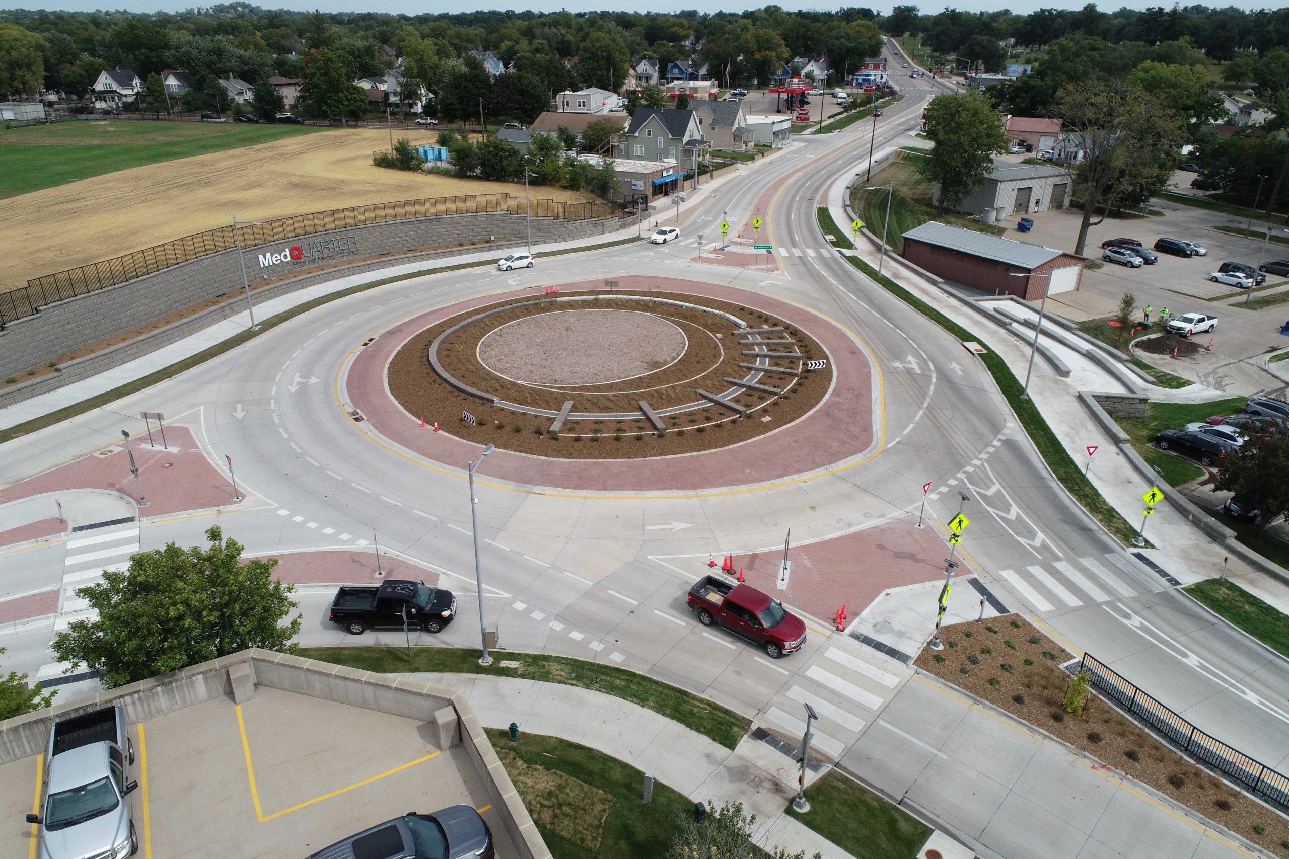
Few endeavors in the ambitious landscape of roadway reconstruction are as multifaceted and pivotal as enhancing access control along a bustling corridor like US Highway 69. At the heart of this reconstruction project was a fundamental objective—to redefine access management. This undertaking encompassed the careful reconfiguration and consolidation of numerous commercial and residential access points, representing a vital step towards achieving the project’s overarching goals of improved traffic flow, enhanced safety, and capacity expansion to accommodate the corridor’s ever-growing demands.
Access management, often called the art of controlling entry, exit, and cross traffic along a roadway, is a crucial facet of modern transportation engineering. In the case of the US 69 Reconstruction project, the existing corridor consisted of a web of access points that had evolved, contributing to congestion, delays, and safety concerns. Businesses and residences along the corridor required convenient access, but the existing layout challenged efficiency and safety.
Our project team embarked on a meticulous access point relocation and consolidation process to address these challenges head-on. This multifaceted endeavor involved a comprehensive assessment of the corridor’s existing access points, considering proximity to intersections, traffic volume, and safety implications. Commercial entrances, driveways, and residential access points were strategically repositioned to optimize traffic flow and minimize conflict points.
This project exemplifies the delicate balance between accessibility and efficiency that characterizes modern roadway engineering. While the project aimed to optimize traffic flow and enhance safety, it also recognized the importance of maintaining access for businesses and residents. Through careful planning and collaboration with stakeholders, the project achieved a harmonious blend of accessibility and efficiency, ensuring that the corridor remains a vital conduit for the community.
Leveraging Cutting-Edge Technology
Additionally, this project harnessed the full potential of Bentley Open Roads software to create this transformative corridor. This powerful software served as the digital backbone of the project, transcending the boundaries of traditional design and ushering in a new era of precision and efficiency. The software allowed our design team to develop a dynamic blueprint that guided automated machine guidance during grading and paving. Moreover, it served as an analytical laboratory, offering a platform for in-depth design analysis, where every component, contour, and dimension could be scrutinized to perfection.
Seamless Staging: Navigating Progress Smoothly Through US 69 Reconstruction
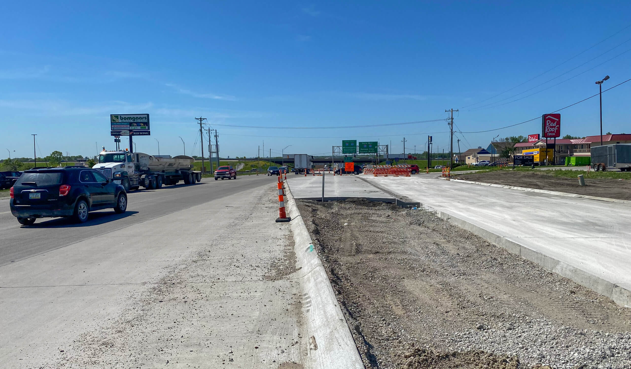
Finally, a meticulously crafted staging plan was devised to maintain traffic flow throughout construction. This intricate plan ensured commuters could navigate the corridor safely and efficiently during construction, minimizing disruptions to their daily routines.
The US 69 Reconstruction project has been more than just a roadway overhaul — it has been a testament to innovation, collaboration, and foresight. As the corridor has evolved into a four-lane urban roadway, it is now poised to meet the ever-growing transportation needs of the Ankeny area, laying the foundation for a brighter, more accessible future.